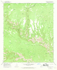
1965 Map of Woodland Park
USGS Topo · Published 1969About this map
The Middle Fork Gila River and West Fork Gila River converge within a landscape defined by dramatic canyons and the high elevation of Yellow Mountain. This 1960s survey of the Gila Wilderness and Gila National Forest shows a territory largely devoid of modern roads, instead relying on an extensive network of pack trails to navigate the remote terrain.
Find a feature on this map
54 named features on this map. Tap any name to fly to it.
Don’t see what you’re looking for? This feature index may not catch every label — zoom into the map to look around manually.
Map Details
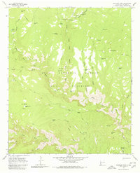
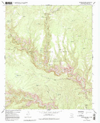
Editions of this 1965 Woodland Park Map
Other maps of this area

1911 · Alum Mountain
USGS Topo · 1:125,000

1913 · Alum Mountain
USGS Topo · 1:125,000

1954 · Clifton
USGS Topo · 1:250,000

1957 · Clifton
USGS Topo · 1:250,000

1958 · Clifton
USGS Topo · 1:250,000

1962 · Clifton
USGS Topo · 1:250,000
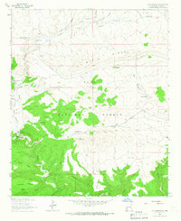
1963 · Loco Mountain
USGS Topo · 1:24,000
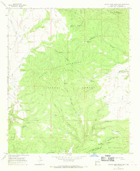
1965 · Canyon Creek Mountains
USGS Topo · 1:24,000
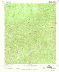
1965 · Diablo Range
USGS Topo · 1:24,000
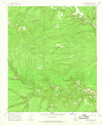
1965 · Lilley Mountain
USGS Topo · 1:24,000