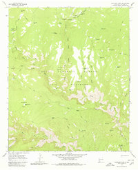
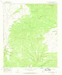
1965 Map of Woodland Park
USGS Topo · Published 1980About this map
The confluence of the West Fork Gila River, Middle Fork Gila River, and the Gila River defines this mid-1960s landscape within the Gila National Forest. The map documents a rugged interior region of the Gila Wilderness, where travel was dictated by an extensive network of labeled pack trails rather than roads.
Find a feature on this map
44 named features on this map. Tap any name to fly to it.
Don’t see what you’re looking for? This feature index may not catch every label — zoom into the map to look around manually.
Map Details
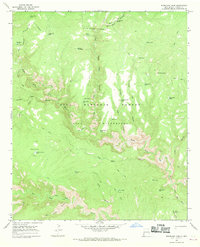
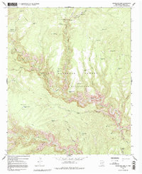
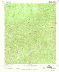
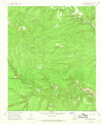
Editions of this 1965 Woodland Park Map
Other maps of this area

1911 · Alum Mountain
USGS Topo · 1:125,000

1913 · Alum Mountain
USGS Topo · 1:125,000

1954 · Clifton
USGS Topo · 1:250,000

1957 · Clifton
USGS Topo · 1:250,000

1958 · Clifton
USGS Topo · 1:250,000

1962 · Clifton
USGS Topo · 1:250,000
1963 · Loco Mountain
USGS Topo · 1:24,000
1965 · Canyon Creek Mountains
USGS Topo · 1:24,000
1965 · Diablo Range
USGS Topo · 1:24,000
1965 · Lilley Mountain
USGS Topo · 1:24,000