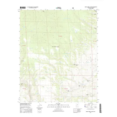
2017 Map of Burnt Corral Canyon
USGS Topo · Published 2017About this map
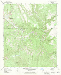
Gila National Forest encompasses this high-country landscape, where the convergence of deep drainage systems defines the topography. The E-Fork Gila River and Middle Fork Gila River carve through the southern reaches, creating a vital watershed in this arid environment. The map details a sophisticated network of water management features essential for ranching and forest operations, including the Maverick Tank Number Two, Rock Bottom Tank, and Whiterocks Tanks.
Find a feature on this map
61 named features on this map. Tap any name to fly to it.
Don’t see what you’re looking for? This feature index may not catch every label — zoom into the map to look around manually.
Map Details
Editions of this 2017 Burnt Corral Canyon Map
This is the sole edition of this map. No revisions or reprints were ever made.
Other maps of this area

1911 · Alum Mountain
USGS Topo · 1:125,000

1913 · Alum Mountain
USGS Topo · 1:125,000

1954 · Clifton
USGS Topo · 1:250,000

1957 · Clifton
USGS Topo · 1:250,000

1958 · Clifton
USGS Topo · 1:250,000

1962 · Clifton
USGS Topo · 1:250,000
1965 · Canyon Creek Mountains
USGS Topo · 1:24,000
1965 · Middle Mesa
USGS Topo · 1:24,000
1965 · Woodland Park
USGS Topo · 1:24,000
1965 · Gila Hot Springs
USGS Topo · 1:24,000