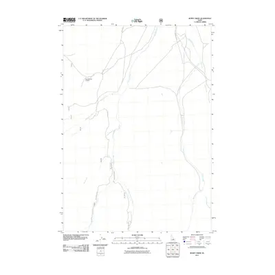
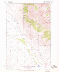
2011 Map of Burnt Creek
USGS Topo · Published 2011About this map
The Pahsimeroi River valley serves as the central artery of this drainage basin, where high-mountain tributaries converge in a complex network of canyons and gulches. The landscape is defined by the splitting and merging of these waters, including the West Fork Pahsimeroi River and the East Fork Pahsimeroi River, which carve deep paths through the high desert terrain. To the east, Burnt Creek follows a parallel course, fed by its own eastern and western forks.
Find a feature on this map
17 named features on this map. Tap any name to fly to it.
Don’t see what you’re looking for? This feature index may not catch every label — zoom into the map to look around manually.
Map Details
Editions of this 2011 Burnt Creek Map
This is the sole edition of this map. No revisions or reprints were ever made.
Other maps of this area

1935 · Borah Peak
USGS Topo · 1:125,000

1938 · Borah Peak
USGS Topo · 1:125,000

1955 · Dubois
USGS Topo · 1:250,000

1956 · Donkey Hills
USGS Topo · 1:62,500

1956 · Doublespring
USGS Topo · 1:62,500

1958 · Dubois
USGS Topo · 1:250,000
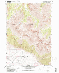
1962 · Leatherman Peak
USGS Topo · 1:24,000
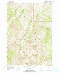
1967 · Massacre Mtn
USGS Topo · 1:24,000
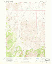
1967 · Burnt Creek
USGS Topo · 1:24,000
1967 · Elkhorn Creek
USGS Topo · 1:24,000