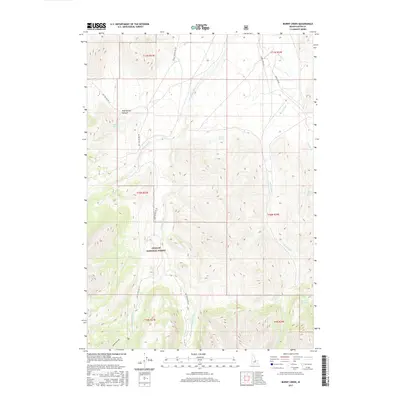
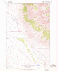
2017 Map of Burnt Creek
USGS Topo · Published 2017About this map
The Challis National Forest dominates this high-altitude landscape in central Idaho, where the Pahsimeroi River valley meets steep mountain terrain. The hydrologic network here is remarkably complex, defined by the W Fork Pahsimeroi River and E Fork Pahsimeroi River which drain the southern slopes. Alpine features like Merriam Lake and Burnt Cr Lake are positioned at the headwaters of these drainages, illustrating the glacial topography of the region. Access is provided primarily through a series of Forest Service corridors, including Burnt Creek Rd and Nat For Dev Rd 118. Smaller springs, such as Poison Springs and Squaw Creek Spring, suggest the critical importance of water sources in this dry, high-elevation environment. The absence of settlements highlights the area's use as managed wilderness and rangeland.
Find a feature on this map
27 named features on this map. Tap any name to fly to it.
Don’t see what you’re looking for? This feature index may not catch every label — zoom into the map to look around manually.
Map Details
Editions of this 2017 Burnt Creek Map
This is the sole edition of this map. No revisions or reprints were ever made.
Other maps of this area

1935 · Borah Peak
USGS Topo · 1:125,000

1938 · Borah Peak
USGS Topo · 1:125,000

1955 · Dubois
USGS Topo · 1:250,000

1956 · Donkey Hills
USGS Topo · 1:62,500

1956 · Doublespring
USGS Topo · 1:62,500

1958 · Dubois
USGS Topo · 1:250,000
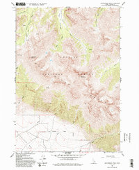
1962 · Leatherman Peak
USGS Topo · 1:24,000
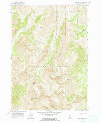
1967 · Massacre Mtn
USGS Topo · 1:24,000
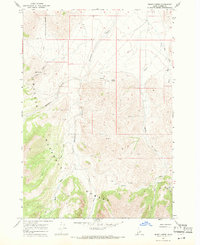
1967 · Burnt Creek
USGS Topo · 1:24,000
1967 · Elkhorn Creek
USGS Topo · 1:24,000