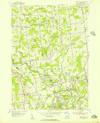
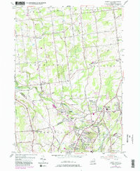
1954 Map of Burnt Hills
USGS Topo · Published 1956About this map
The Saratoga Co Schenectady Co boundary line bisects this mid-century landscape, capturing a moment of suburban transition in the capital region. The village of Burnt Hills and its High Sch serve as a focal point for a network of older agricultural settlements like Charlton and Birchton. Development in the mid-1950s is concentrated in the south, where residential tracts like Wheeler Estates, Tucker Heights, and Komar Park begin to fill the spaces between established hamlets. The rural character remains evident through numerous small schools, including Industrial Farm Sch and Pashley Sch, and family-named landmarks such as Holbrook Corners. The winding courses of Alplaus Kill and Morning Kill dictate the local topography, while historic cemeteries like Pine Grove Cem and Sweetman Cem offer valuable points of reference for genealogists studying the area's early family foundations.
Find a feature on this map
67 named features on this map. Tap any name to fly to it.
Don’t see what you’re looking for? This feature index may not catch every label — zoom into the map to look around manually.
Map Details
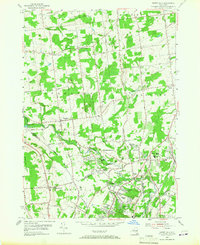
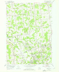
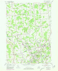
Editions of this 1954 Burnt Hills Map
5 editions found
Other maps of this area

1893 · Schenectady
USGS Topo · 1:62,500

1895 · Schenectady
USGS Topo · 1:62,500

1895 · Amsterdam
USGS Topo · 1:62,500

1898 · Schenectady
USGS Topo · 1:62,500

1899 · Broadalbin
USGS Topo · 1:62,500

1902 · Broadalbin
USGS Topo · 1:62,500

1902 · Saratoga
USGS Topo · 1:62,500

1930 · Schenectady
USGS Topo · 1:62,500

1931 · Amsterdam
USGS Topo · 1:62,500

1934 · Saratoga Springs
USGS Topo · 1:24,000