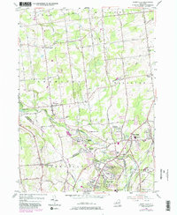
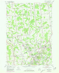
1954 Map of Burnt Hills
USGS Topo · Published 1981About this map
Burnt Hills and its neighboring hamlets sit at a crossroads of agriculture and early suburbanization in this mid-century survey of Saratoga and Schenectady counties. The landscape is defined by the winding paths of the Mouring Kill and Alplaus Kill, which once supported local industry and now frame residential developments like Tucker Heights and Wheeler Estates. Rural life remains visible through numerous small family and community landmarks, including Pine Grove Cem and the Smith Cem near Charlton.
Find a feature on this map
83 named features on this map. Tap any name to fly to it.
Don’t see what you’re looking for? This feature index may not catch every label — zoom into the map to look around manually.
Map Details
Editions of this 1954 Burnt Hills Map
5 editions found
Other maps of this area

1893 · Schenectady
USGS Topo · 1:62,500

1895 · Schenectady
USGS Topo · 1:62,500

1895 · Amsterdam
USGS Topo · 1:62,500

1898 · Schenectady
USGS Topo · 1:62,500

1899 · Broadalbin
USGS Topo · 1:62,500

1902 · Broadalbin
USGS Topo · 1:62,500

1902 · Saratoga
USGS Topo · 1:62,500

1930 · Schenectady
USGS Topo · 1:62,500

1931 · Amsterdam
USGS Topo · 1:62,500

1934 · Saratoga Springs
USGS Topo · 1:24,000