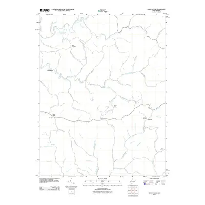
2011 Map of Burnt House
USGS Topo · Published 2011About this map
Burnt House and its accompanying Burnt House Post Office anchor this Ritchie County landscape, where the South Fork Hughes River and its numerous tributaries have carved a complex network of valleys. The settlement pattern here follows the drainage, with small communities like Newberne, Lawford, and Racket established along the winding roads that trace the creek bottoms. The presence of the Newberne Post Office and local landmarks such as Mount Olive Cemetery suggest a rural continuity that has persisted through the decades.
Find a feature on this map
89 named features on this map. Tap any name to fly to it.
Don’t see what you’re looking for? This feature index may not catch every label — zoom into the map to look around manually.
Map Details
Editions of this 2011 Burnt House Map
This is the sole edition of this map. No revisions or reprints were ever made.
Other maps of this area

1893 · Sutton
USGS Topo · 1:125,000

1906 · Holbrook
USGS Topo · 1:62,500

1906 · Glenville
USGS Topo · 1:62,500

1907 · Harrisville
USGS Topo · 1:62,500

1907 · Arnoldsburg
USGS Topo · 1:62,500

1924 · Harrisville
USGS Topo · 1:62,500

1924 · Holbrook
USGS Topo · 1:62,500

1925 · Glenville
USGS Topo · 1:62,500

1925 · Arnoldsburg
USGS Topo · 1:62,500

1926 · Harrisville
USGS Topo · 1:62,500