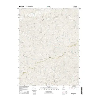
2016 Map of Burnt House
USGS Topo · Published 2016About this map
The South Fork Hughes River cuts through the northern section of this quadrangle, defining a landscape of deeply incised hollows and ridges along the border of Ritchie and Gilmer counties. Small settlements including Burnt House, Hazelgreen, Lawford, and Newberne are connected by a network of rural routes such as Burnt House Rd and Auburn Rd. The mapping shows how development followed the natural drainage patterns, with homes and structures concentrated along watercourses like Tanner Cr and Spruce Creek. Genealogists and local historians can locate smaller landmarks such as Mount Olive Cem near the center of the sheet and Bush Cem to the southeast. Natural landmarks like Pine Low Gap and Mount Liberty Hill provide geographic context to the settlement patterns established in this part of West Virginia.
Find a feature on this map
99 named features on this map. Tap any name to fly to it.
Don’t see what you’re looking for? This feature index may not catch every label — zoom into the map to look around manually.
Map Details
Editions of this 2016 Burnt House Map
This is the sole edition of this map. No revisions or reprints were ever made.
Other maps of this area

1893 · Sutton
USGS Topo · 1:125,000

1906 · Holbrook
USGS Topo · 1:62,500

1906 · Glenville
USGS Topo · 1:62,500

1907 · Harrisville
USGS Topo · 1:62,500

1907 · Arnoldsburg
USGS Topo · 1:62,500

1924 · Harrisville
USGS Topo · 1:62,500

1924 · Holbrook
USGS Topo · 1:62,500

1925 · Glenville
USGS Topo · 1:62,500

1925 · Arnoldsburg
USGS Topo · 1:62,500

1926 · Harrisville
USGS Topo · 1:62,500