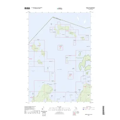
2023 Map of Burnt Island
USGS Topo · Published 2023About this map
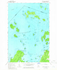
Lake Huron surrounds the northern reaches of Drummond Island in this modern 2023 survey of the maritime boundary between the United States and Canada. The map highlights a complex archipelago of limestone islands and treacherous shoals, featuring the Harbor Island National Wildlife Refuge and numerous family-named points and bays. Inland, the southern portion of the sheet reveals the road network of Drummond Island, including S Sturgeon Bay Rd and S Sims Point Rd, which lead to the Drummond Island Airport. This area is characterized by its significant hydrographic features like Potagannissing Bay and De Tour Passage, which have long served as vital corridors for Great Lakes navigation. Local landmarks such as Seastone Point and Wreck Island reflect the area's nautical history and the physical challenges of navigating these island-studded waters.
Find a feature on this map
68 named features on this map. Tap any name to fly to it.
Don’t see what you’re looking for? This feature index may not catch every label — zoom into the map to look around manually.
Map Details
Editions of this 2023 Burnt Island Map
This is the sole edition of this map. No revisions or reprints were ever made.
Other maps of this area

1954 · Alpena
USGS Topo · 1:250,000

1957 · Alpena
USGS Topo · 1:250,000

1958 · Alpena
USGS Topo · 1:250,000

1961 · Blind River
USGS Topo · 1:250,000
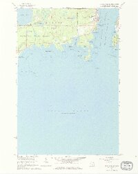
1964 · De Tour Village
USGS Topo · 1:24,000

1964 · Drummond
USGS Topo · 1:24,000
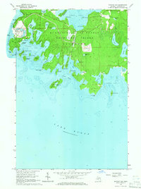
1964 · Whitney Bay
USGS Topo · 1:24,000
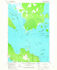
1964 · Lime Island
USGS Topo · 1:24,000

1964 · Meade Island
USGS Topo · 1:24,000
1964 · Burnt Island
USGS Topo · 1:24,000