
1964 Map of Drummond
USGS Topo · Published 1965About this map
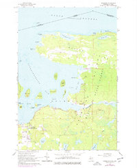
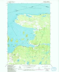
Drummond Island sits at the international boundary between Michigan and Ontario, anchoring the northern reaches of Potagannissing Bay. This survey captures the island's dual character, where the level limestone expanses of Maxton Plains meet the dense State Forest and marshy inlets of Scott Bay. The settlement at Drummond serves as the focal point for island life, clustered near the Drummond Sch and the Drummond Island Airport. Cultural history is noted through several specific sites, including St Florence Ch, the Indian Cem, and an ancient Indian Mound near Rutland Island. The map meticulously details the surrounding archipelago, from Harbor Island to the numerous smaller keys like Grape Island and Quarry Island, illustrating the complex maritime landscape of the North Channel.
Find a feature on this map
49 named features on this map. Tap any name to fly to it.
Don’t see what you’re looking for? This feature index may not catch every label — zoom into the map to look around manually.
Map Details
Editions of this 1964 Drummond Map
3 editions found
Other maps of this area

1954 · Alpena
USGS Topo · 1:250,000

1957 · Alpena
USGS Topo · 1:250,000

1958 · Alpena
USGS Topo · 1:250,000

1961 · Blind River
USGS Topo · 1:250,000
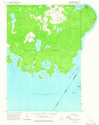
1964 · Marble Head
USGS Topo · 1:24,000
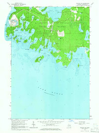
1964 · Whitney Bay
USGS Topo · 1:24,000

1964 · Meade Island
USGS Topo · 1:24,000
1964 · Drummond SE
USGS Topo · 1:24,000
1964 · Burnt Island
USGS Topo · 1:24,000
1968 · Blind River
USGS Topo · 1:250,000