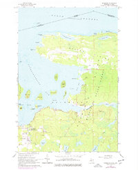
1964 Map of Drummond
USGS Topo · Published 1978About this map
Drummond Island and its northern shores on the North Channel define this northern Michigan landscape, where the international boundary between Ontario and Michigan cuts through the water. The settlement of Drummond serves as the hub for island life, featuring local landmarks such as the Drummond Sch and Drummond Island Airport. The presence of an Indian Mound on Rutland Island and the Indian Cem near St Florence Ch points to a long history of habitation preceding the modern township.
Find a feature on this map
51 named features on this map. Tap any name to fly to it.
Don’t see what you’re looking for? This feature index may not catch every label — zoom into the map to look around manually.
Map Details
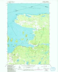
Editions of this 1964 Drummond Map
3 editions found
Other maps of this area

1954 · Alpena
USGS Topo · 1:250,000

1957 · Alpena
USGS Topo · 1:250,000

1958 · Alpena
USGS Topo · 1:250,000

1961 · Blind River
USGS Topo · 1:250,000
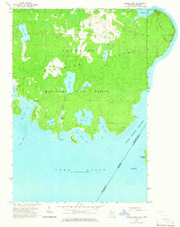
1964 · Marble Head
USGS Topo · 1:24,000

1964 · Drummond
USGS Topo · 1:24,000
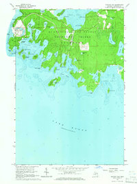
1964 · Whitney Bay
USGS Topo · 1:24,000

1964 · Meade Island
USGS Topo · 1:24,000
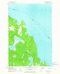
1964 · Drummond SE
USGS Topo · 1:24,000
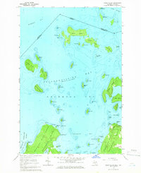
1964 · Burnt Island
USGS Topo · 1:24,000