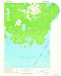
1964 Map of Marble Head
USGS Topo · Published 1965About this map
Drummond Island and its prominent eastern landmark Marble Head are documented here in the mid-1960s, revealing a landscape defined by state forestry and isolated coastal settlements. The small community of Johnswood sits on the western edge of the sheet, serving as a primary point of human activity within the extensive Munuscong State Forest. The map detail shows a network of jeep trails providing access to inland water bodies like Clear Lake and Dickenson Lake, suggesting a territory managed for timber and recreation.
Find a feature on this map
34 named features on this map. Tap any name to fly to it.
Don’t see what you’re looking for? This feature index may not catch every label — zoom into the map to look around manually.
Map Details
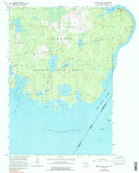
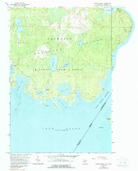
Editions of this 1964 Marble Head Map
3 editions found
Other maps of this area

1954 · Alpena
USGS Topo · 1:250,000

1957 · Alpena
USGS Topo · 1:250,000

1958 · Alpena
USGS Topo · 1:250,000

1961 · Blind River
USGS Topo · 1:250,000

1964 · Drummond
USGS Topo · 1:24,000

1964 · Meade Island
USGS Topo · 1:24,000
1964 · Drummond SE
USGS Topo · 1:24,000
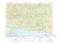
1968 · Blind River
USGS Topo · 1:250,000

1969 · Alpena
USGS Topo · 1:250,000
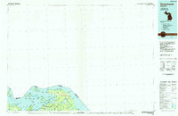
1984 · Drummond
USGS Topo · 1:100,000