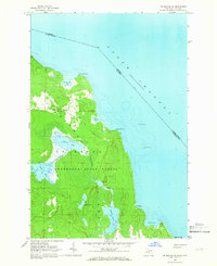
1964 Map of Drummond SE
USGS Topo · Published 1966About this map
The southeastern portion of Drummond Island is defined by a low-lying, water-rich landscape where the Munuscong State Forest meets the international boundary in the North Channel. This 1964 field-checked survey reveals an intricate network of inland waterways, including the chain of First Lake, Second Lake, Third Lake, and Fourth Lake, all connected by the winding Potagannissing River. The northern reaches are characterized by the open expanse of the Maxton Plains, a distinctive geological feature that contrasts with the dense forest cover to the south.
Find a feature on this map
25 named features on this map. Tap any name to fly to it.
Don’t see what you’re looking for? This feature index may not catch every label — zoom into the map to look around manually.
Map Details
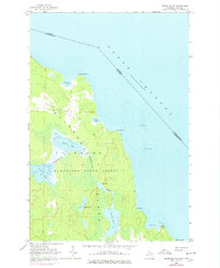
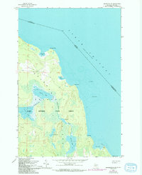
Editions of this 1964 Drummond SE Map
Other maps of this area

1954 · Alpena
USGS Topo · 1:250,000

1957 · Alpena
USGS Topo · 1:250,000

1958 · Alpena
USGS Topo · 1:250,000

1961 · Blind River
USGS Topo · 1:250,000
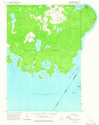
1964 · Marble Head
USGS Topo · 1:24,000

1964 · Drummond
USGS Topo · 1:24,000

1964 · Meade Island
USGS Topo · 1:24,000
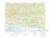
1968 · Blind River
USGS Topo · 1:250,000

1969 · Alpena
USGS Topo · 1:250,000
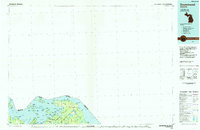
1984 · Drummond
USGS Topo · 1:100,000