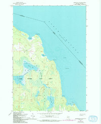
1964 Map of Drummond SE
USGS Topo · Published 1994About this map
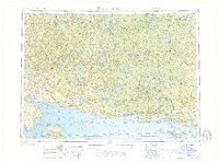
Drummond Island anchors this coastal survey, showcasing the remote wilderness of the Upper Peninsula just before the mid-1960s. The landscape is dominated by the Maxton Plains in the north and the expansive Lake Superior State Forest, which covers much of the interior. A complex network of inland water bodies, including Second Lake, Third Lake, and Stevens Lake, are connected by the Potagannissing River, illustrating a classic glacial drainage pattern. Along the shoreline, prominent features like Raynolds Point and Shoal Point reach into the North Channel, marking the maritime border between the United States and Canada. Submerged navigational hazards such as Humphrey Rock and Lindsay Bank highlight the importance of hydrographic data for vessels navigating these northern waters.
Find a feature on this map
24 named features on this map. Tap any name to fly to it.
Don’t see what you’re looking for? This feature index may not catch every label — zoom into the map to look around manually.
Map Details
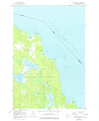
Editions of this 1964 Drummond SE Map
Other maps of this area

1954 · Alpena
USGS Topo · 1:250,000

1957 · Alpena
USGS Topo · 1:250,000

1958 · Alpena
USGS Topo · 1:250,000

1961 · Blind River
USGS Topo · 1:250,000
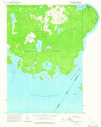
1964 · Marble Head
USGS Topo · 1:24,000

1964 · Drummond
USGS Topo · 1:24,000

1964 · Meade Island
USGS Topo · 1:24,000
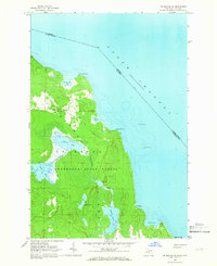
1964 · Drummond SE
USGS Topo · 1:24,000
1968 · Blind River
USGS Topo · 1:250,000

1969 · Alpena
USGS Topo · 1:250,000