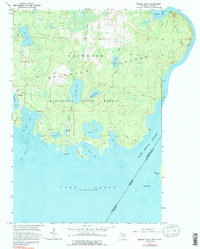
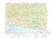
1964 Map of Marble Head
USGS Topo · Published 1988About this map
Drummond Island's eastern shores and the international boundary at the False Detour Channel define this mid-century coastal survey. The settlement of Johnswood sits on the western edge of this sheet, adjacent to the protected waters of Scammon Cove. Inland, the landscape is dominated by the dense wetlands of the Munuscong State Forest, characterized by a complex drainage network including Dickenson Creek and the expansive Jarvinen Marsh.
Find a feature on this map
32 named features on this map. Tap any name to fly to it.
Don’t see what you’re looking for? This feature index may not catch every label — zoom into the map to look around manually.
Map Details
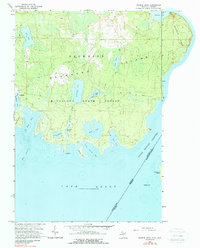
Editions of this 1964 Marble Head Map
3 editions found
Other maps of this area

1954 · Alpena
USGS Topo · 1:250,000

1957 · Alpena
USGS Topo · 1:250,000

1958 · Alpena
USGS Topo · 1:250,000

1961 · Blind River
USGS Topo · 1:250,000
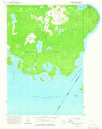
1964 · Marble Head
USGS Topo · 1:24,000

1964 · Drummond
USGS Topo · 1:24,000

1964 · Meade Island
USGS Topo · 1:24,000
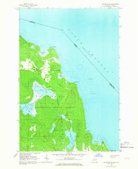
1964 · Drummond SE
USGS Topo · 1:24,000
1968 · Blind River
USGS Topo · 1:250,000

1969 · Alpena
USGS Topo · 1:250,000