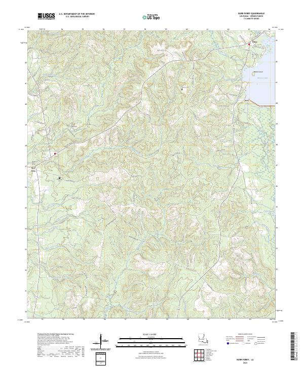
2024 Map of Burr Ferry
USGS Topo · Published 2024About this map
Burr Ferry and Caney anchor this Vernon Parish landscape, where the terrain is defined by a dense network of drainages feeding into Bayou Anacoco. The eastern edge of the quadrangle is dominated by Anacoco Lake, featuring Rabbit Island, a prominent landmark within the reservoir's waters. The mapping reflects a rural infrastructure built upon family-named routes and parish roads, such as Rod Stevens Rd and Elzie Jones Rd, which connect remote homesteads and timberlands.
Find a feature on this map
72 named features on this map. Tap any name to fly to it.
Don’t see what you’re looking for? This feature index may not catch every label — zoom into the map to look around manually.
Map Details
Editions of this 2024 Burr Ferry Map
This is the sole edition of this map. No revisions or reprints were ever made.
Other maps of this area

1941 · Leesville
USGS Topo · 1:62,500

1943 · Leesville
USGS Topo · 1:62,500

1944 · Wiergate
USGS Topo · 1:62,500

1946 · Leesville
USGS Topo · 1:62,500

1947 · Rosepine
USGS Topo · 1:31,680

1947 · Knight
USGS Topo · 1:31,680

1948 · Leesville
USGS Topo · 1:62,500

1948 · Wiergate
USGS Topo · 1:62,500

1949 · Evans
USGS Topo · 1:31,680

1952 · Lake Charles
USGS Topo · 1:250,000