
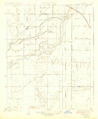
1926 Map of Burris Park
USGS Topo · Published 1926About this map
The Kings River meanders through this portion of the San Joaquin Valley, shaping a landscape defined by an intricate network of irrigation and drainage. Historically part of the Laguna De Tache grant area, the region shows the transition from natural waterways like Cole Slough and Mussel Slough to an engineered agricultural system. This 1920s environment is interlaced with vital waterworks including the Riverside Ditch, Peoples Ditch, and Lakeland Canal, which supported the early farming communities of Kings, Tulare, and Fresno counties. Local life centers on rural landmarks such as Burris Park and a series of country schoolhouses, including River Bend School, Oakvale School, and Excelsior School. The Southern Pacific Railroad cuts across the northeastern corner, providing a crucial link for the valley's agricultural output during this period of rural development.
Find a feature on this map
31 named features on this map. Tap any name to fly to it.
Don’t see what you’re looking for? This feature index may not catch every label — zoom into the map to look around manually.
Map Details
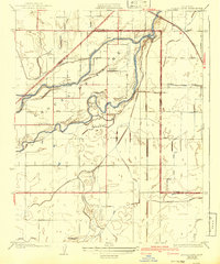
Editions of this 1926 Burris Park Map
3 editions found
Other maps of this area

1922 · Trimmer
USGS Topo · 1:96,000

1924 · Reedley
USGS Topo · 1:31,680

1924 · Selma
USGS Topo · 1:31,680

1924 · Conejo
USGS Topo · 1:31,680

1924 · Dinuba
USGS Topo · 1:125,000

1926 · Goshen
USGS Topo · 1:31,680

1926 · Hanford
USGS Topo · 1:31,680

1927 · Traver
USGS Topo · 1:31,680

1927 · Laton
USGS Topo · 1:31,680

1927 · Remnoy
USGS Topo · 1:31,680