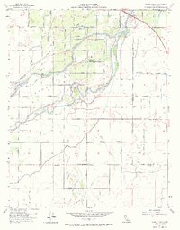
1954 Map of Burris Park
USGS Topo · Published 1968About this map
The Kings River corridor and its intricate irrigation networks dominate this 1954 landscape at the intersection of Fresno, Kings, and Tulare counties. The map details a complex hydrological system designed for the Central Valley's agricultural demands, featuring significant infrastructure like the Cole Slough, Dutch John Cut, and numerous waterways such as Settlers Ditch and Lakeland Canal. This area, historically part of the Laguna de Tache land grant, shows a transition from riverine geography to a rigid grid of roads and surveyed sections.
Find a feature on this map
51 named features on this map. Tap any name to fly to it.
Don’t see what you’re looking for? This feature index may not catch every label — zoom into the map to look around manually.
Map Details
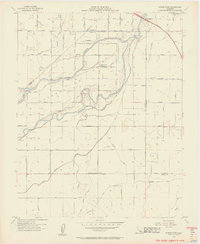
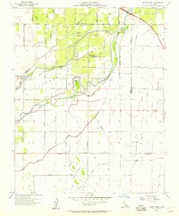
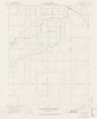
Editions of this 1954 Burris Park Map
4 editions found
Other maps of this area

1922 · Trimmer
USGS Topo · 1:96,000

1924 · Reedley
USGS Topo · 1:31,680

1924 · Selma
USGS Topo · 1:31,680

1924 · Conejo
USGS Topo · 1:31,680

1924 · Dinuba
USGS Topo · 1:125,000

1926 · Goshen
USGS Topo · 1:31,680

1926 · Hanford
USGS Topo · 1:31,680

1926 · Burris Park
USGS Topo · 1:31,680

1927 · Traver
USGS Topo · 1:31,680

1927 · Laton
USGS Topo · 1:31,680