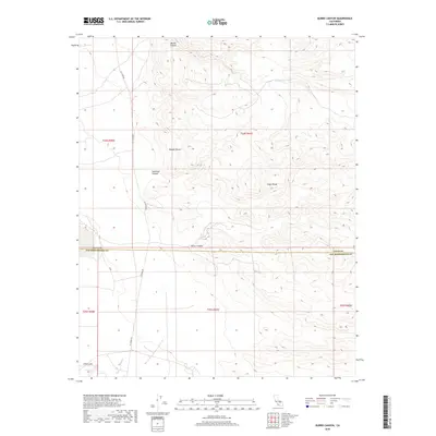
2018 Map of Burro Canyon
USGS Topo · Published 2018About this map
Argus Range topography dominates this section of the Mojave Desert, where the boundary between Inyo and San Bernardino counties cuts through the arid landscape. The map details a complex system of drainages, most notably Burro Canyon and the seasonally active Sweetwater Wash. These natural corridors are contrasted by the presence of military and industrial utility markers, including the winding G2 Tower Rd which provides access through the rugged terrain.
Find a feature on this map
15 named features on this map. Tap any name to fly to it.
Don’t see what you’re looking for? This feature index may not catch every label — zoom into the map to look around manually.
Map Details
Editions of this 2018 Burro Canyon Map
This is the sole edition of this map. No revisions or reprints were ever made.
Other maps of this area

1915 · Searles Lake
USGS Topo · 1:250,000

1947 · Trona
USGS Topo · 1:250,000

1948 · Trona
USGS Topo · 1:250,000

1949 · Trona
USGS Topo · 1:62,500

1949 · Searles Lake
USGS Topo · 1:62,500

1950 · Searles Lake
USGS Topo · 1:62,500

1950 · Trona
USGS Topo · 1:62,500

1953 · Mountain Springs Canyon
USGS Topo · 1:62,500

1953 · Ridgecrest
USGS Topo · 1:62,500

1953 · Trona
USGS Topo · 1:250,000