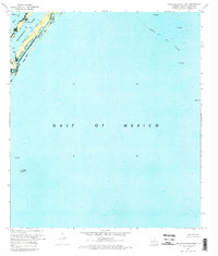
1971 Map of Burrwood Bayou East
USGS Topo · Published 1974About this map
Southwest Pass serves as the dominant industrial artery in this 1971 orthophotomap of the Mississippi River Delta's edge. The landscape is defined by the heavy presence of the offshore petroleum industry, characterized by the extensive Block 83 Oil Field and Block 27 Oil Field which dot the surrounding waters. Unlike traditional topographic maps, this aerial-based study reveals the literal footprint of extraction, showing an Oil Well Platform, several Oil Wells, and a Sludge Pit near the shoreline.
Find a feature on this map
11 named features on this map. Tap any name to fly to it.
Don’t see what you’re looking for? This feature index may not catch every label — zoom into the map to look around manually.
Map Details
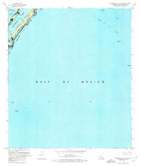
Editions of this 1971 Burrwood Bayou East Map
2 editions found
Other maps of this area

1893 · East Delta
USGS Topo · 1:62,500

1893 · West Delta
USGS Topo · 1:62,500

1935 · South Pass
USGS Topo · 1:31,680

1946 · Pass Du Bois
USGS Topo · 1:31,680

1946 · Mudpan Bayou
USGS Topo · 1:31,680

1947 · Southwest Pass
USGS Topo · 1:31,680
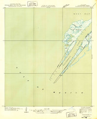
1949 · Burrwood
USGS Topo · 1:31,680

1952 · Southwest Pass
USGS Topo · 1:62,500

1953 · West Delta
USGS Topo · 1:62,500
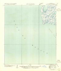
1954 · Pass Du Bois
USGS Topo · 1:31,680