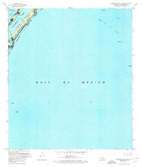
1971 Map of Burrwood Bayou East
USGS Topo · Published 1974About this map
Southwest Pass serves as a vital artery for the region's energy economy, flanked by the submerged lease tracts of the Block 83 Oil Field and the Block 27 Oil Field. This 1971 orthophotomap documents a transition in coastal surveying, utilizing high-altitude aerial photography to record the industrial infrastructure of the Gulf of Mexico. The waters of West Bay meet the deep-water channels, where numerous structures such as a solitary Oil Well Platform and various unnamed platforms dot the maritime landscape. These features reflect the mid-century expansion of offshore mineral extraction in the Mississippi River delta. This sheet supersedes a 1935 planimetric map, providing a precise record of depth curves and soundings as they existed before subsequent coastal erosion and subsidence altered the delta's fragile geography.
Find a feature on this map
9 named features on this map. Tap any name to fly to it.
Don’t see what you’re looking for? This feature index may not catch every label — zoom into the map to look around manually.
Map Details
Editions of this 1971 Burrwood Bayou East Map
2 editions found
Other maps of this area

1893 · East Delta
USGS Topo · 1:62,500

1893 · West Delta
USGS Topo · 1:62,500

1935 · South Pass
USGS Topo · 1:31,680

1946 · Pass Du Bois
USGS Topo · 1:31,680

1946 · Mudpan Bayou
USGS Topo · 1:31,680

1947 · Southwest Pass
USGS Topo · 1:31,680
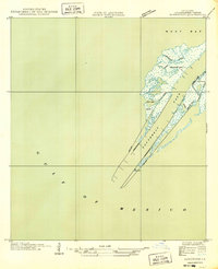
1949 · Burrwood
USGS Topo · 1:31,680

1952 · Southwest Pass
USGS Topo · 1:62,500

1953 · West Delta
USGS Topo · 1:62,500
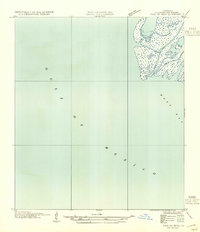
1954 · Pass Du Bois
USGS Topo · 1:31,680