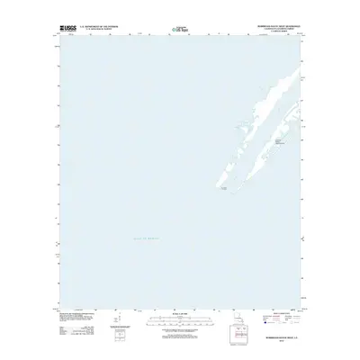
2012 Map of Burrwood Bayou West
USGS Topo · Published 2012About this map
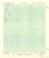
Burrwood Oil Field and the complex infrastructure of the Mississippi River Delta dominate this coastal survey. Located in the southernmost reaches of Plaquemines Parish, the landscape is defined by the thin strips of land flanking SW Pass as it meets the Gulf of Mexico. The map documents a specialized maritime and industrial environment where oil extraction and aviation support the local economy. Notable installations include the E-8 Tank Battery Seaplane Base, which highlights the logistical reliance on water-based transport in this deltaic terrain. The presence of Mud Bay and Stake Island Bayou illustrates the shifting, water-dominant geography of the birdfoot delta, where human industry and natural tidal flows constantly interact.
Find a feature on this map
6 named features on this map. Tap any name to fly to it.
Don’t see what you’re looking for? This feature index may not catch every label — zoom into the map to look around manually.
Map Details
Editions of this 2012 Burrwood Bayou West Map
This is the sole edition of this map. No revisions or reprints were ever made.
Other maps of this area

1893 · West Delta
USGS Topo · 1:62,500

1946 · Pass Du Bois
USGS Topo · 1:31,680

1946 · Mudpan Bayou
USGS Topo · 1:31,680

1947 · Southwest Pass
USGS Topo · 1:31,680
1949 · Burrwood
USGS Topo · 1:31,680

1952 · Southwest Pass
USGS Topo · 1:62,500

1953 · West Delta
USGS Topo · 1:62,500
1954 · Pass Du Bois
USGS Topo · 1:31,680
1954 · Southwest Pass
USGS Topo · 1:31,680
1954 · Mudpan Bayou
USGS Topo · 1:31,680