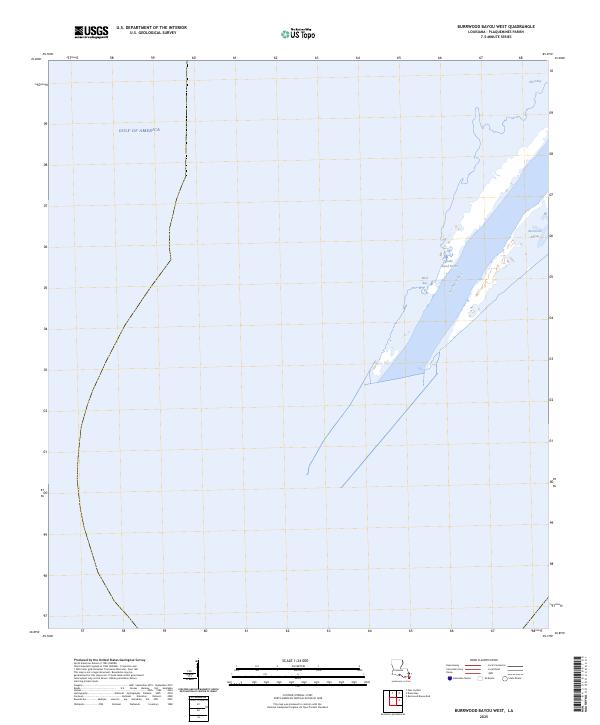
2025 Map of Burrwood Bayou West
USGS Topo · Published 2025About this map
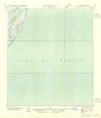
The Southwest Pass shipping channel dominates the fragile, shifting geography of the Mississippi River delta in this coastal study. Situated in the southernmost reaches of Plaquemines Parish, the landscape is defined by the thin strips of land separating the river's outflow from the surrounding waters of the Gulf of America. This area is a critical maritime corridor where the river meets the sea, featuring the narrow passage of Burrwood Bayou and the tidal flats of Mud Bay. The map provides a contemporary record of the land-water interface at Stake Island Bayou and West Bay, documenting the current state of a region where sediment deposition and coastal erosion constantly reshape the terrain. For those interested in the hydrology of the birdfoot delta, the intricate network of distributary channels shown here reveals the complex plumbing of one of North America's most important industrial and ecological waterways.
Find a feature on this map
6 named features on this map. Tap any name to fly to it.
Don’t see what you’re looking for? This feature index may not catch every label — zoom into the map to look around manually.
Map Details
Editions of this 2025 Burrwood Bayou West Map
This is the sole edition of this map. No revisions or reprints were ever made.
Other maps of this area

1893 · West Delta
USGS Topo · 1:62,500

1946 · Pass Du Bois
USGS Topo · 1:31,680

1946 · Mudpan Bayou
USGS Topo · 1:31,680

1947 · Southwest Pass
USGS Topo · 1:31,680
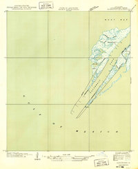
1949 · Burrwood
USGS Topo · 1:31,680

1952 · Southwest Pass
USGS Topo · 1:62,500

1953 · West Delta
USGS Topo · 1:62,500
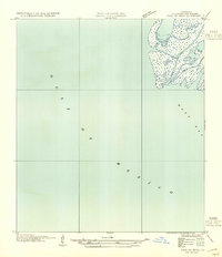
1954 · Pass Du Bois
USGS Topo · 1:31,680
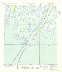
1954 · Southwest Pass
USGS Topo · 1:31,680
1954 · Mudpan Bayou
USGS Topo · 1:31,680