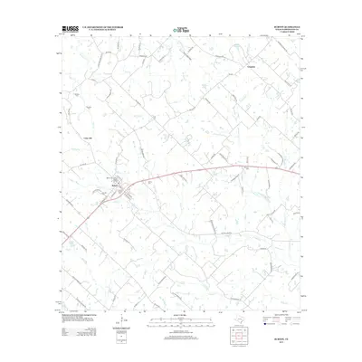
2013 Map of Burton
USGS Topo · Published 2013About this map
The Burton Commercial Historic District anchors this portion of Washington County, illustrating the enduring agricultural and commercial legacy of the region. A central landmark of this settlement is the Burton Farmers Gin, reflecting the area's deep-rooted cotton industry and rural economic foundations. The surrounding landscape is defined by the branching tributaries of Indian Cr and Rocky Cr, which create a network of drainages across the undulating terrain north of Union Hill.
Find a feature on this map
94 named features on this map. Tap any name to fly to it.
Don’t see what you’re looking for? This feature index may not catch every label — zoom into the map to look around manually.
Map Details
Editions of this 2013 Burton Map
This is the sole edition of this map. No revisions or reprints were ever made.
Other maps of this area
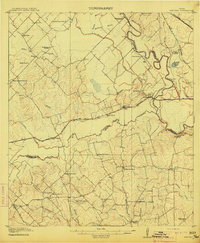
1914 · Gay Hill
USGS Topo · 1:62,500
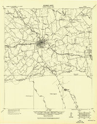
1930 · Brenham
USGS Topo · 1:62,500

1954 · Austin
USGS Topo · 1:250,000
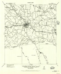
1956 · Brenham
USGS Topo · 1:62,500
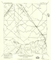
1956 · Somerville
USGS Topo · 1:62,500
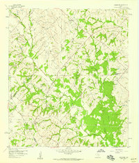
1958 · Greenvine
USGS Topo · 1:24,000
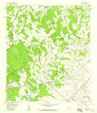
1958 · Carmine
USGS Topo · 1:24,000
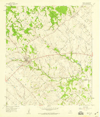
1958 · Burton
USGS Topo · 1:24,000
1958 · Round Top
USGS Topo · 1:24,000
1959 · Flag Pond
USGS Topo · 1:24,000