2022 Map of Burton
USGS Topo · Published 2022About this map
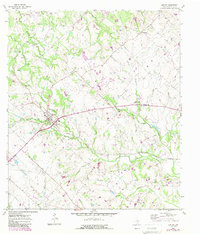
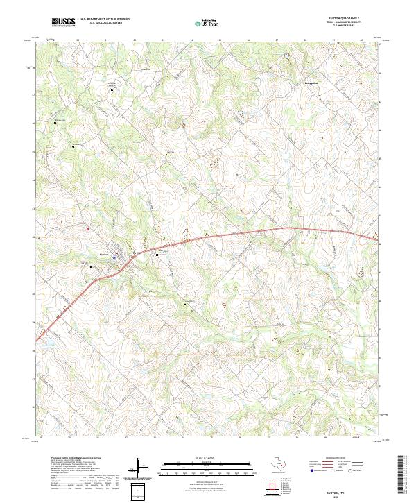
Burton and the northern settlement of Longpoint anchor this Washington County landscape, where the rolling prairies of south-central Texas meet a dense network of creek drainages. The area is defined by its small-scale water systems, including Indian Cr and E Mill Cr, which feed into local reservoirs like Nelms Lake and Lee Lake. For genealogists, the map is a significant record of local heritage, documenting numerous burial sites that speak to the area's early congregations and family settlements.
Find a feature on this map
92 named features on this map. Tap any name to fly to it.
Don’t see what you’re looking for? This feature index may not catch every label — zoom into the map to look around manually.
Map Details
Editions of this 2022 Burton Map
This is the sole edition of this map. No revisions or reprints were ever made.