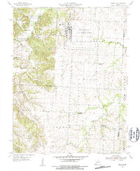
1955 Map of Burtville
USGS Topo · Published 1956About this map
Whiteman Air Force Base dominates the eastern landscape of this Johnson County quadrangle, showing the base as it appeared in the mid-1950s. Adjacent to the military facility, the natural terrain of Knob Noster State Park features a network of wooded branches and ponds, including Lake Buteo and Mallard Pond. The map captures a predominantly rural interior defined by the Clear Fork and its numerous tributaries such as Gribble Branch and Vinegar Branch.
Find a feature on this map
30 named features on this map. Tap any name to fly to it.
Don’t see what you’re looking for? This feature index may not catch every label — zoom into the map to look around manually.
Map Details
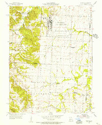
Editions of this 1955 Burtville Map
2 editions found
Other maps of this area

1885 · Warrensburg
USGS Topo · 1:125,000

1887 · Sedalia
USGS Topo · 1:125,000

1887 · Warrensburg
USGS Topo · 1:125,000

1894 · Sedalia
USGS Topo · 1:125,000

1894 · Warrensburg
USGS Topo · 1:125,000

1917 · Knobnoster
USGS Topo · 1:62,500

1939 · Sweet Springs
USGS Topo · 1:62,500

1940 · Sweet Springs
USGS Topo · 1:62,500

1941 · Sweet Springs
USGS Topo · 1:62,500

1945 · Sweet Springs
USGS Topo · 1:62,500