
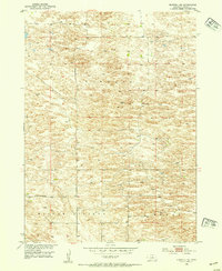
1952 Map of Burwell NE
USGS Topo · Published 1954About this map
Kinkaid, Willow Springs, and Bryan define the rolling terrain of this northern Nebraska landscape during the early 1950s. The area is characterized by a high density of depressions and natural drainage basins, which shaped the placement of early rural infrastructure. This 1952 field survey highlights the remote settlement of Deverre and the presence of localized educational hubs like Kinkaid Sch and Golden Standard Sch, which served the scattered farming and ranching families of Garfield County. The map is a precise record of the Missouri River Basin development program, documenting a period when unimproved dirt roads and isolated windmills were the primary indicators of human activity across these expansive townships. This data is invaluable for understanding the spatial distribution of mid-century Sandhills life before many of these small rural schools and named localities shifted off the modern map.
Find a feature on this map
8 named features on this map. Tap any name to fly to it.
Don’t see what you’re looking for? This feature index may not catch every label — zoom into the map to look around manually.
Map Details
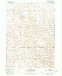
Editions of this 1952 Burwell NE Map
3 editions found
Other maps of this area

1952 · Burwell
USGS Topo · 1:24,000

1952 · Burwell SE
USGS Topo · 1:24,000

1952 · Burwell NW
USGS Topo · 1:24,000

1954 · Gables SW
USGS Topo · 1:24,000

1954 · Gables NW
USGS Topo · 1:24,000

1955 · Broken Bow
USGS Topo · 1:250,000

1955 · O'Neill
USGS Topo · 1:250,000

1956 · Broken Bow
USGS Topo · 1:250,000

1959 · O'Neill
USGS Topo · 1:250,000

1969 · O'Neill
USGS Topo · 1:250,000