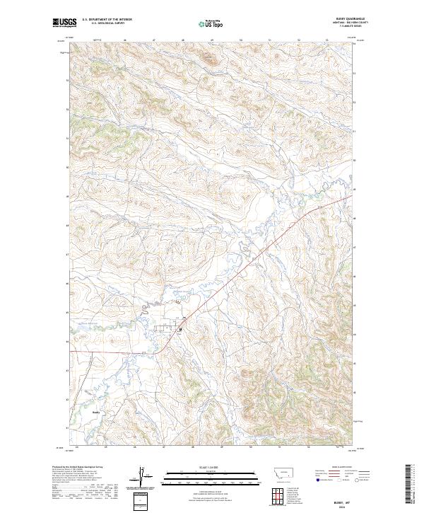
2024 Map of Busby
USGS Topo · Published 2024About this map
Rosebud Creek winds through this Big Horn County landscape, anchoring the settlement of Busby at a natural crossroads of water and transport. The community is defined by its simple residential grid, including A St and E St, with the Busby Cem situated nearby as a focal point for local genealogical research. The surrounding terrain is marked by a high density of named watercourses and drainages, such as Two Moon Creek and Black Whiteman Creek, which speak to the complex hydrology of the region.
Find a feature on this map
35 named features on this map. Tap any name to fly to it.
Don’t see what you’re looking for? This feature index may not catch every label — zoom into the map to look around manually.
Map Details
Editions of this 2024 Busby Map
This is the sole edition of this map. No revisions or reprints were ever made.
Other maps of this area

1894 · Rosebud
USGS Topo · 1:125,000

1901 · Rosebud
USGS Topo · 1:125,000

1954 · Hardin
USGS Topo · 1:250,000

1957 · Hardin
USGS Topo · 1:250,000

1958 · Hardin
USGS Topo · 1:250,000

1958 · Chalky Point
USGS Topo · 1:24,000

1958 · Painted Hill
USGS Topo · 1:24,000

1958 · Bull Creek Lookout
USGS Topo · 1:24,000

1958 · Black Spring
USGS Topo · 1:24,000

1958 · Busby
USGS Topo · 1:24,000