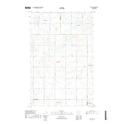
2017 Map of Bush Lake
USGS Topo · Published 2017About this map
Bush Lake and the surrounding prairie of northwestern North Dakota are defined by a landscape of kettle lakes and intermittent drainages along the border of Divide and Burke counties. The terrain is structured by a rigid section-line road grid, including Co Hwy 14 and Co Rd 16, which reflects the enduring homestead-era land division. A significant landmark for local history and genealogy is Our Saviours Cem, situated in the northern portion of the map. The drainage of White Earth Cr cuts through the southeastern corner, while smaller water bodies like Norman Lake and Nelson Lake punctuate the agricultural landscape. This survey demonstrates the persistence of rural settlement patterns and the importance of these small water features in an otherwise arid, high-plains environment near the border of Williams County.
Find a feature on this map
25 named features on this map. Tap any name to fly to it.
Don’t see what you’re looking for? This feature index may not catch every label — zoom into the map to look around manually.
Map Details
Editions of this 2017 Bush Lake Map
This is the sole edition of this map. No revisions or reprints were ever made.
Other maps of this area

1949 · Columbus SW
USGS Topo · 1:24,000

1949 · Noonan SE
USGS Topo · 1:24,000

1949 · Columbus SE
USGS Topo · 1:24,000

1950 · Columbus
USGS Topo · 1:62,500

1950 · Noonan
USGS Topo · 1:62,500

1953 · Williston
USGS Topo · 1:250,000

1957 · Williston
USGS Topo · 1:250,000

1974 · Hamlet
USGS Topo · 1:24,000

1974 · McGregor
USGS Topo · 1:24,000

1974 · Grand View
USGS Topo · 1:24,000