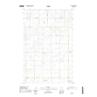
2020 Map of Bush Lake
USGS Topo · Published 2020About this map
Bush Lake and Nelson Lake anchor the prairie landscape of this northern prairie region, where the borders of Divide, Burke, and Williams Counties meet. The terrain is defined by the winding course of White Earth Cr, which cuts through a landscape predominantly organized by the Public Land Survey System. While the area is largely defined by its rural character and section-line roads like 90th St NW and Co Hwy 14, local history is rooted at Our Saviors Cem. This cemetery provides a vital genealogical landmark for a region where dispersed farmsteads are the primary settlement pattern. The map documents the persistent agricultural grid and the natural drainage basins that have shaped land use in this part of North Dakota for generations.
Find a feature on this map
25 named features on this map. Tap any name to fly to it.
Don’t see what you’re looking for? This feature index may not catch every label — zoom into the map to look around manually.
Map Details
Editions of this 2020 Bush Lake Map
This is the sole edition of this map. No revisions or reprints were ever made.
Other maps of this area

1949 · Columbus SW
USGS Topo · 1:24,000

1949 · Noonan SE
USGS Topo · 1:24,000

1949 · Columbus SE
USGS Topo · 1:24,000

1950 · Columbus
USGS Topo · 1:62,500

1950 · Noonan
USGS Topo · 1:62,500

1953 · Williston
USGS Topo · 1:250,000

1957 · Williston
USGS Topo · 1:250,000

1974 · Hamlet
USGS Topo · 1:24,000

1974 · McGregor
USGS Topo · 1:24,000

1974 · Grand View
USGS Topo · 1:24,000