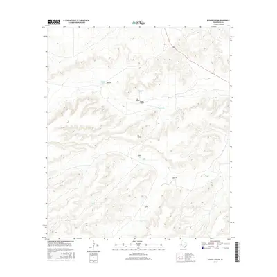
2016 Map of Busher Canyon
USGS Topo · Published 2016About this map
Big Divide serves as a prominent geographic marker in this section of Pecos County, where the high ground separates a network of complex drainage systems. The landscape is defined by deep cuts such as Big Canyon, Javalina Canyon, and the central Busher Canyon. These landforms, along with Rebecca Draw and Cliett Draw, illustrate the arid-land hydrology of the Trans-Pecos, where water management is critical. The distribution of infrastructure like Hoodoo Water Tank, Whetstone Water Tank, and Cedar Tank across the high-elevation terrain reflects the region's ranching heritage and the necessity of sustaining livestock in a landscape where permanent natural surface water is scarce. In the northeast, the presence of Highway 285 provides the primary transit corridor through this otherwise remote ranchland.
Find a feature on this map
14 named features on this map. Tap any name to fly to it.
Don’t see what you’re looking for? This feature index may not catch every label — zoom into the map to look around manually.
Map Details
Editions of this 2016 Busher Canyon Map
This is the sole edition of this map. No revisions or reprints were ever made.
Other maps of this area

1920 · Longfellow
USGS Topo · 1:125,000

1928 · Sanderson
USGS Topo · 1:125,000

1928 · Comanche Spring
USGS Topo · 1:125,000

1929 · Independence Draw Quadrangle
USGS Topo · 1:125,000

1954 · Fort Stockton
USGS Topo · 1:250,000

1958 · Fort Stockton
USGS Topo · 1:250,000

1968 · Busher Canyon
USGS Topo · 1:24,000

1968 · Toms Canyon
USGS Topo · 1:24,000

1968 · F C Ranch
USGS Topo · 1:24,000

1968 · Ebers Camp
USGS Topo · 1:24,000