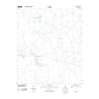
2010 Map of Butler
USGS Topo · Published 2010About this map
Butler and the surrounding settlement of Red Lake anchor this 2010 survey of eastern Freestone County, Texas. The landscape is defined by an intricate network of managed water, characterized by numerous private and named reservoirs such as Indian Creek Lake, Pearson Lake, and Burleson Lake. These impoundments, several of which bear names like Harding Lake and Little Red Lake, indicate a region heavily utilized for ranching, recreation, or agricultural water management.
Find a feature on this map
52 named features on this map. Tap any name to fly to it.
Don’t see what you’re looking for? This feature index may not catch every label — zoom into the map to look around manually.
Map Details
Editions of this 2010 Butler Map
This is the sole edition of this map. No revisions or reprints were ever made.
Other maps of this area

1919 · Fairfield
USGS Topo · 1:62,500

1949 · Tennessee Colony
USGS Topo · 1:62,500

1950 · Tennessee Colony
USGS Topo · 1:62,500

1953 · Palestine
USGS Topo · 1:250,000

1954 · Waco
USGS Topo · 1:250,000

1955 · Waco
USGS Topo · 1:250,000

1957 · Palestine
USGS Topo · 1:250,000

1961 · Young
USGS Topo · 1:24,000

1964 · Long Lake
USGS Topo · 1:24,000

1964 · Oakwood
USGS Topo · 1:24,000