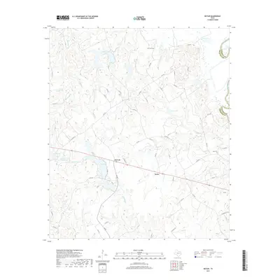
2019 Map of Butler
USGS Topo · Published 2019About this map
Red Lake and the settlement of Butler serve as the primary hubs in this section of Freestone County, situated west of the Trinity River. The landscape is defined by an intricate network of waterways and low-lying drainages, including Jelly Slough and various family-named lakes such as Pearson Lake and Evans Lake. This hydrography suggests a region deeply tied to the river's floodplains and local agriculture, where numerous county roads like Co RD 241 and FM 489 connect dispersed homesteads.
Find a feature on this map
59 named features on this map. Tap any name to fly to it.
Don’t see what you’re looking for? This feature index may not catch every label — zoom into the map to look around manually.
Map Details
Editions of this 2019 Butler Map
This is the sole edition of this map. No revisions or reprints were ever made.
Other maps of this area

1919 · Fairfield
USGS Topo · 1:62,500

1949 · Tennessee Colony
USGS Topo · 1:62,500

1950 · Tennessee Colony
USGS Topo · 1:62,500

1953 · Palestine
USGS Topo · 1:250,000

1954 · Waco
USGS Topo · 1:250,000

1955 · Waco
USGS Topo · 1:250,000

1957 · Palestine
USGS Topo · 1:250,000

1961 · Young
USGS Topo · 1:24,000

1964 · Long Lake
USGS Topo · 1:24,000

1964 · Oakwood
USGS Topo · 1:24,000