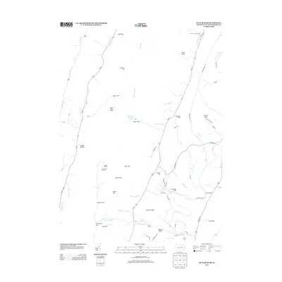
2013 Map of Butler Knob
USGS Topo · Published 2013About this map
Silver Mine Knob and the Jacks Mountain Firetower overlook a landscape of deep gaps and ridges in this part of Huntingdon County. The terrain is defined by its numerous named passages, such as Querry Gap, Millers Gap, and Old Womans Gap, which have historically dictated the movement of people and commerce through the central Pennsylvania Appalachians. Smaller settlements like Latta Grove and Monroe Valley are situated along the valley floors, where water sources like Hares Valley Cr and Singers Gap Run provide the primary drainage. The presence of the Singers Gap Reservoir and landmarks like the Runk Bridge reflect the local infrastructure managed within this ridge-and-valley system. This survey illustrates how the geography of features like Chestnut Ridge and Renecker Ridge continues to shape the road network, including Croghan Pike and the winding Wrangletown Rd.
Find a feature on this map
58 named features on this map. Tap any name to fly to it.
Don’t see what you’re looking for? This feature index may not catch every label — zoom into the map to look around manually.
Map Details
Editions of this 2013 Butler Knob Map
This is the sole edition of this map. No revisions or reprints were ever made.
Other maps of this area

1901 · Huntingdon
USGS Topo · 1:62,500

1904 · Huntingdon
USGS Topo · 1:62,500

1922 · Mt Union
USGS Topo · 1:48,000

1924 · Mt. Union
USGS Topo · 1:62,500

1930 · Broad Top
USGS Topo · 1:62,500

1933 · Broad Top
USGS Topo · 1:62,500

1939 · Orbisonia
USGS Topo · 1:62,500

1940 · Orbisonia
USGS Topo · 1:62,500

1944 · Orbisonia
USGS Topo · 1:62,500

1944 · Mt. Union
USGS Topo · 1:62,500
Featured Places
- Cass Township, PA
- Cromwell Township, PA
- Shirley Township, PA
- Union Township, PA
- Latta Grove, Cass Township