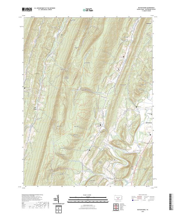
2023 Map of Butler Knob
USGS Topo · Published 2023About this map
Jacks Mountain and its many gaps dominate the terrain of this central Pennsylvania landscape, where narrow valleys define the patterns of settlement and travel. The area is marked by numerous family and community burial sites, from the Dell Family Cem in the north to the Bare-Garver Cem and Swartz Cem near the southern reaches. Along the eastern edge, Shirleysburg sits near the confluence of Aughwick Creek and several smaller runs, serving as a hub for local roads like Croghan Pike.
Find a feature on this map
82 named features on this map. Tap any name to fly to it.
Don’t see what you’re looking for? This feature index may not catch every label — zoom into the map to look around manually.
Map Details
Editions of this 2023 Butler Knob Map
This is the sole edition of this map. No revisions or reprints were ever made.
Other maps of this area

1901 · Huntingdon
USGS Topo · 1:62,500

1904 · Huntingdon
USGS Topo · 1:62,500

1922 · Mt Union
USGS Topo · 1:48,000

1924 · Mt. Union
USGS Topo · 1:62,500

1930 · Broad Top
USGS Topo · 1:62,500

1933 · Broad Top
USGS Topo · 1:62,500

1939 · Orbisonia
USGS Topo · 1:62,500

1940 · Orbisonia
USGS Topo · 1:62,500

1944 · Orbisonia
USGS Topo · 1:62,500

1944 · Mt. Union
USGS Topo · 1:62,500
Featured Places
- Cass Township, PA
- Cromwell Township, PA
- Shirley Township, PA
- Latta Grove, Cass Township
- Union Township, PA