1976 Map of Butler NE
USGS Topo · Published 1976About this map
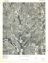
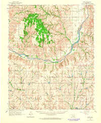
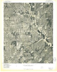
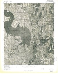
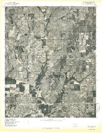
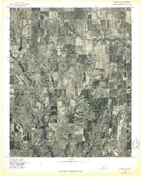
East Barnitz Creek and West Barnitz Creek dominate the landscape of this Custer County area in the mid-1970s. This advance orthophoto print provides a raw, unedited view of Oklahoma's agricultural patterns, revealing the intricate patchwork of cultivated fields and drainage basins. Unlike traditional line maps, this imagery captures the physical reality of the terrain, showing the vegetation density and erosion patterns along the watercourses. The lack of named settlements or infrastructure on this specific sheet highlights a period of quiet rural utility, where the land is defined primarily by its watershed and the rhythmic spacing of farmstead clearings.
Find a feature on this map
2 named features on this map. Tap any name to fly to it.
Don’t see what you’re looking for? This feature index may not catch every label — zoom into the map to look around manually.
Map Details
Editions of this 1976 Butler NE Map
This is the sole edition of this map. No revisions or reprints were ever made.
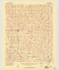
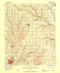
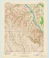
Other maps of this area

1955 · Clinton
USGS Topo · 1:250,000

1957 · Clinton
USGS Topo · 1:250,000
1957 · Butler
USGS Topo · 1:62,500
1957 · Clinton
USGS Topo · 1:62,500
1962 · Putnam
USGS Topo · 1:62,500
1962 · Aledo
USGS Topo · 1:62,500
1976 · Butler NW
USGS Topo · 1:24,000
1976 · Butler SW
USGS Topo · 1:24,000
1976 · Clinton SW
USGS Topo · 1:24,000
1976 · Clinton NW
USGS Topo · 1:24,000