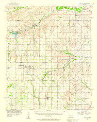
1976 Map of Clinton SW
USGS Topo · Published 1976About this map
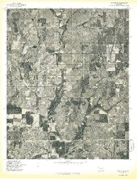
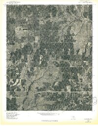
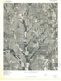
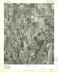
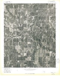
Agricultural patterns and the winding course of the Washita River dominate this 1976 orthophotoquad of central Custer County. The map provides a direct aerial perspective of the region just as the spring planting season began, revealing the complex geometry of terraced fields and riparian woodlands. The northern portion of the city of Clinton is visible in the lower left, showing the dense residential grid and industrial footprints of the era. Further north, the smaller settlement of Arapaho sits amidst a landscape of varied land use, where the dark vegetation of the river bottom contrasts sharply with the lighter tones of the surrounding prairie. This advance print allows researchers to study the precise physical footprint of these communities and the environmental character of the Oklahoma plains before modern suburban expansion and changing farming practices altered the rural fabric.
Find a feature on this map
3 named features on this map. Tap any name to fly to it.
Don’t see what you’re looking for? This feature index may not catch every label — zoom into the map to look around manually.
Map Details
Editions of this 1976 Clinton SW Map
This is the sole edition of this map. No revisions or reprints were ever made.
Other maps of this area

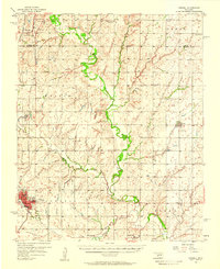
1955 · Clinton
USGS Topo · 1:250,000
1956 · Cordell
USGS Topo · 1:62,500

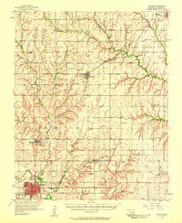
1957 · Clinton
USGS Topo · 1:250,000
1957 · Butler
USGS Topo · 1:62,500
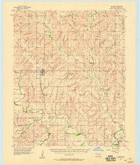
1957 · Clinton
USGS Topo · 1:62,500
1957 · Dill City
USGS Topo · 1:62,500
1976 · Clinton SE
USGS Topo · 1:24,000
1976 · Butler NE
USGS Topo · 1:24,000
1976 · Clinton NW
USGS Topo · 1:24,000
1976 · Clinton NE
USGS Topo · 1:24,000