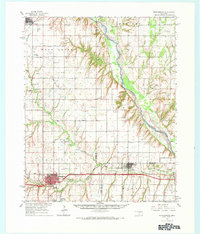
1976 Map of Clinton SE
USGS Topo · Published 1976About this map
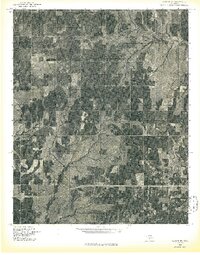
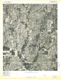
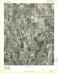
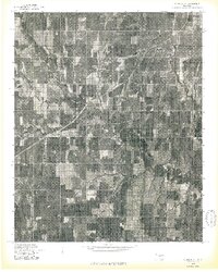
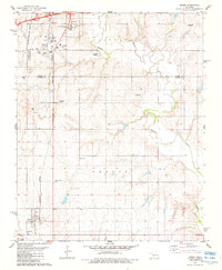
Bear Creek meanders through the heart of Custer County in this mid-1970s orthophotoquad, illustrating the intensive agricultural land use patterns of central Oklahoma. The imagery provides a direct photographic view of the landscape, where rectilinear field boundaries and contour farming techniques dominate the terrain. Centered near the settlement of Indianapolis, the map captures the transition of rural infrastructure as modern highways intersect with older sections of the grid. Unlike traditional topographic maps, this aerial perspective allows for the study of vegetation density and individual farmstead layouts as they existed during the Bicentennial year.
Find a feature on this map
2 named features on this map. Tap any name to fly to it.
Don’t see what you’re looking for? This feature index may not catch every label — zoom into the map to look around manually.
Map Details
Editions of this 1976 Clinton SE Map
This is the sole edition of this map. No revisions or reprints were ever made.
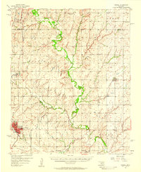
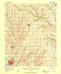
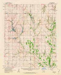
Other maps of this area

1955 · Clinton
USGS Topo · 1:250,000
1956 · Cordell
USGS Topo · 1:62,500

1957 · Clinton
USGS Topo · 1:250,000
1957 · Clinton
USGS Topo · 1:62,500
1961 · Eakly
USGS Topo · 1:62,500
1964 · Weatherford
USGS Topo · 1:62,500
1976 · Clinton SW
USGS Topo · 1:24,000
1976 · Clinton NW
USGS Topo · 1:24,000
1976 · Clinton NE
USGS Topo · 1:24,000
1983 · Bessie
USGS Topo · 1:24,000