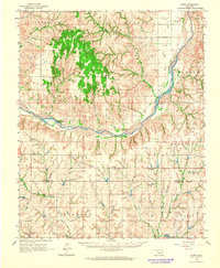
1976 Map of Butler NW
USGS Topo · Published 1976About this map
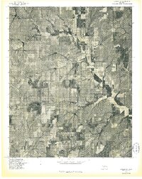
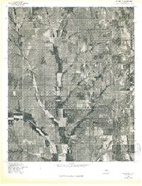
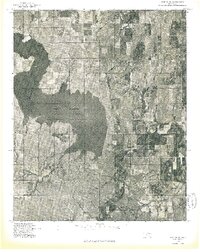
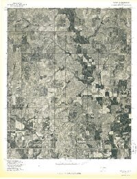
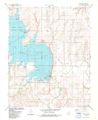
Butler anchors the southern edge of this Custer County landscape, shown here through the lens of a mid-1970s orthophotograph. The aerial imagery reveals a highly organized pattern of agricultural land use, with square sections of cultivated fields and pasture defining the Oklahoma prairie. Cutting through these geometric plots is the meandering course of West Barnitz Creek, which flows southeast across the terrain. The contrast between the rigid sectional surveying and the fluid drainage of the creek provides a clear view of how water resources and land ownership intersected in the plains. This specific perspective highlights the density of farmstead sites and the intricate network of section-line roads that connected this rural community during the late twentieth century.
Find a feature on this map
2 named features on this map. Tap any name to fly to it.
Don’t see what you’re looking for? This feature index may not catch every label — zoom into the map to look around manually.
Map Details
Editions of this 1976 Butler NW Map
This is the sole edition of this map. No revisions or reprints were ever made.
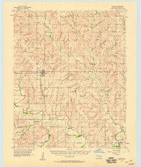
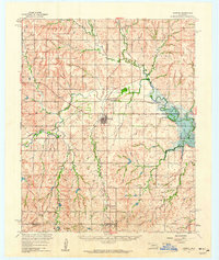
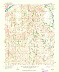
Other maps of this area

1955 · Clinton
USGS Topo · 1:250,000

1957 · Clinton
USGS Topo · 1:250,000
1957 · Butler
USGS Topo · 1:62,500
1960 · Hammon
USGS Topo · 1:62,500
1961 · Leedey
USGS Topo · 1:62,500
1962 · Aledo
USGS Topo · 1:62,500
1976 · Butler NE
USGS Topo · 1:24,000
1976 · Butler SW
USGS Topo · 1:24,000
1976 · Butler SE
USGS Topo · 1:24,000
1983 · Foss Dam
USGS Topo · 1:24,000