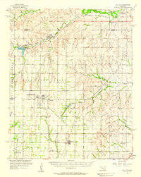
1976 Map of Butler SE
USGS Topo · Published 1976About this map
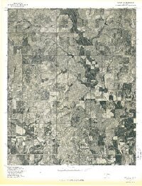
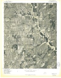
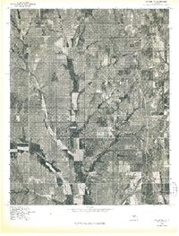
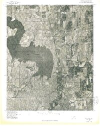
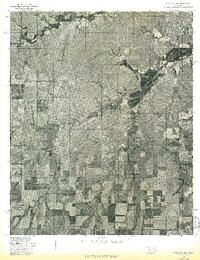
Agricultural patterns and riparian corridors define this 1976 orthophotoquad of Custer County. The Washita River snakes across the southern portion of the landscape, providing a vital water source for the surrounding rural holdings. This aerial perspective, captured in the mid-1970s, reveals the intersection of natural drainage and human settlement near Stafford and Ralph. The land is deeply etched by the winding paths of West Barnitz Creek and East Barnitz Creek, which converge amidst a patchwork of terraced fields and pastures. The imagery serves as a clear record of Oklahoma land use before further modern consolidation, showing the precise relationship between local topography and the placement of rural residences and infrastructure.
Find a feature on this map
5 named features on this map. Tap any name to fly to it.
Don’t see what you’re looking for? This feature index may not catch every label — zoom into the map to look around manually.
Map Details
Editions of this 1976 Butler SE Map
This is the sole edition of this map. No revisions or reprints were ever made.
Other maps of this area

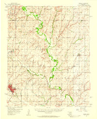
1955 · Clinton
USGS Topo · 1:250,000
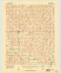
1956 · Cordell
USGS Topo · 1:62,500

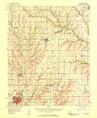
1957 · Clinton
USGS Topo · 1:250,000
1957 · Butler
USGS Topo · 1:62,500
1957 · Clinton
USGS Topo · 1:62,500
1957 · Dill City
USGS Topo · 1:62,500
1976 · Butler NW
USGS Topo · 1:24,000
1976 · Butler NE
USGS Topo · 1:24,000
1976 · Butler SW
USGS Topo · 1:24,000
1976 · Dill City NE
USGS Topo · 1:24,000