
1976 Map of Dill City NE
USGS Topo · Published 1976About this map
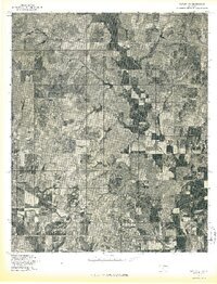
Foss sits at a crossroads of water and transport in Washita County, where the meandering course of Turkey Creek flows toward the extensive shoreline of Clinton Lake. This orthophotoquad, produced from aerial photography taken in April 1976, reveals the intricate relationship between the region's agricultural field patterns and the engineered landscape of the reservoir. The high-contrast imagery highlights the varied terrain, from the sharp relief of creek-cut draws to the broad, flat expanses of managed acreage. The placement of Foss near the lake's eastern reaches underscores its role in a landscape defined by water management and mid-century rural development.
Find a feature on this map
3 named features on this map. Tap any name to fly to it.
Don’t see what you’re looking for? This feature index may not catch every label — zoom into the map to look around manually.
Map Details
Editions of this 1976 Dill City NE Map
This is the sole edition of this map. No revisions or reprints were ever made.
Other maps of this area

1955 · Clinton
USGS Topo · 1:250,000

1957 · Clinton
USGS Topo · 1:250,000

1957 · Butler
USGS Topo · 1:62,500

1957 · Dill City
USGS Topo · 1:62,500

1960 · Hammon
USGS Topo · 1:62,500

1961 · Elk City
USGS Topo · 1:62,500

1976 · Butler SW
USGS Topo · 1:24,000

1976 · Dill City SE
USGS Topo · 1:24,000
1976 · Butler SE
USGS Topo · 1:24,000
1983 · Foss Dam
USGS Topo · 1:24,000