
1976 Map of Dill City SE
USGS Topo · Published 1976About this map
South Boggy Creek and Cavalry Creek shape the drainage patterns of this rural landscape in Washita County. Produced as an orthophotoquad from 1976 aerial photography, the map reveals the precise arrangement of agricultural fields, terraced land, and wooded riparian corridors. The visual data highlights the intersection of natural waterways and human engineering, showing how local farmers adapted to the rolling terrain with contour plowing and soil conservation practices. This specialized document by the Geological Survey provides an unfiltered look at the mid-1970s Oklahoma countryside, emphasizing the texture of the land and the sparse road network connecting isolated farmsteads during this period.
Find a feature on this map
2 named features on this map. Tap any name to fly to it.
Don’t see what you’re looking for? This feature index may not catch every label — zoom into the map to look around manually.
Map Details
Editions of this 1976 Dill City SE Map
This is the sole edition of this map. No revisions or reprints were ever made.
Other maps of this area

1955 · Clinton
USGS Topo · 1:250,000

1956 · Cordell
USGS Topo · 1:62,500

1957 · Clinton
USGS Topo · 1:250,000

1957 · Dill City
USGS Topo · 1:62,500

1961 · Gotebo
USGS Topo · 1:62,500

1961 · Hobart
USGS Topo · 1:62,500

1976 · Dill City NE
USGS Topo · 1:24,000
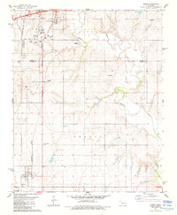
1983 · Bessie
USGS Topo · 1:24,000
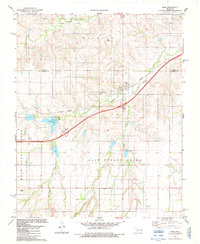
1983 · Foss
USGS Topo · 1:24,000

1983 · Dill City
USGS Topo · 1:24,000