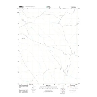
2012 Map of Butler Ranch
USGS Topo · Published 2012About this map
Monitor Valley and the surrounding high-desert terrain of Nye County are the focus of this 2012 survey. The landscape is defined by the drainage networks of Willow Cr and Butler Cr, which draw water through a series of significant canyons including Horse Heaven Canyon and Long Canyon. The presence of the Butler Ranch and Willow Creek Ranch highlights the ongoing legacy of ranching in this part of Nevada, where large-scale land holdings are essential for agricultural sustainability.
Find a feature on this map
12 named features on this map. Tap any name to fly to it.
Don’t see what you’re looking for? This feature index may not catch every label — zoom into the map to look around manually.
Map Details
Editions of this 2012 Butler Ranch Map
This is the sole edition of this map. No revisions or reprints were ever made.
Other maps of this area

1926 · Roberts Mountains
USGS Topo · 1:250,000

1929 · Roberts Mountains
USGS Topo · 1:250,000

1955 · Millett
USGS Topo · 1:250,000

1956 · Horse Heaven Mtn
USGS Topo · 1:62,500

1956 · Tonopah
USGS Topo · 1:250,000

1959 · Tonopah
USGS Topo · 1:250,000

1959 · Millett
USGS Topo · 1:250,000

1960 · Dianas Punch Bowl
USGS Topo · 1:62,500

1962 · Tonopah
USGS Topo · 1:250,000

1968 · Fish Springs
USGS Topo · 1:62,500