
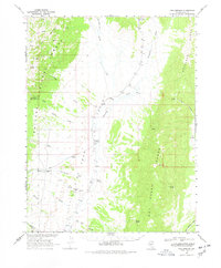
1968 Map of Fish Springs
USGS Topo · Published 1971About this map
Little Fish Lake Valley sits at the heart of this Nevada landscape, framed by the high slopes of the Monitor Range and the Antelope Range. In the late 1960s, this area of Nye County remained largely open range, dominated by the Toiyabe National Forest and characterized by a network of seasonal washes and reliable water sources. Fish Springs and Sevenmile Spring provided essential watering points in an arid basin where ranching and local aviation supported a sparse population.
Find a feature on this map
35 named features on this map. Tap any name to fly to it.
Don’t see what you’re looking for? This feature index may not catch every label — zoom into the map to look around manually.
Map Details
Editions of this 1968 Fish Springs Map
2 editions found
Other maps of this area

1926 · Roberts Mountains
USGS Topo · 1:250,000

1929 · Roberts Mountains
USGS Topo · 1:250,000

1955 · Millett
USGS Topo · 1:250,000

1956 · Cockalorum Wash
USGS Topo · 1:62,500

1956 · Horse Heaven Mtn
USGS Topo · 1:62,500

1956 · Tonopah
USGS Topo · 1:250,000

1959 · Tonopah
USGS Topo · 1:250,000

1959 · Millett
USGS Topo · 1:250,000

1960 · Dianas Punch Bowl
USGS Topo · 1:62,500

1962 · Tonopah
USGS Topo · 1:250,000