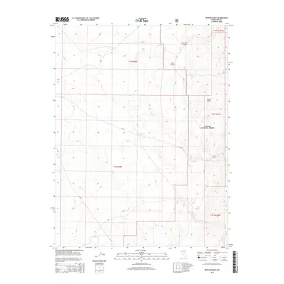
2014 Map of Butler Ranch
USGS Topo · Published 2014About this map
Butler Ranch serves as a primary marker of human activity within this high-elevation landscape on the eastern slopes of the Monitor Range. The 2014 survey details a network of canyons and drainages, including Horse Heaven Canyon and Long Canyon, which channel water toward Willow Cr and Butler Cr. A significant portion of the terrain is managed as part of the Toiyabe National Forest, where the topography rises sharply to the east. This region is characterized by its isolation and the persistence of traditional land use, as seen in the presence of Butler Ranch and the service roads NV-82 and NF-141 that traverse the rugged basins and range. Researchers can examine the drainage patterns of W Dobbin Cr and other ephemeral streams that define the local hydrology.
Find a feature on this map
17 named features on this map. Tap any name to fly to it.
Don’t see what you’re looking for? This feature index may not catch every label — zoom into the map to look around manually.
Map Details
Editions of this 2014 Butler Ranch Map
This is the sole edition of this map. No revisions or reprints were ever made.
Other maps of this area

1926 · Roberts Mountains
USGS Topo · 1:250,000

1929 · Roberts Mountains
USGS Topo · 1:250,000

1955 · Millett
USGS Topo · 1:250,000

1956 · Horse Heaven Mtn
USGS Topo · 1:62,500

1956 · Tonopah
USGS Topo · 1:250,000

1959 · Tonopah
USGS Topo · 1:250,000

1959 · Millett
USGS Topo · 1:250,000

1960 · Dianas Punch Bowl
USGS Topo · 1:62,500

1962 · Tonopah
USGS Topo · 1:250,000

1968 · Fish Springs
USGS Topo · 1:62,500