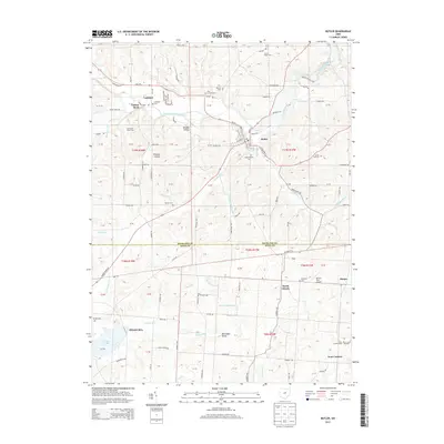
2013 Map of Butler
USGS Topo · Published 2013About this map
Butler serves as the primary hub of this landscape, situated at the confluence where Clear Fork Mohican River and Slater Run meet. The area is defined by a dense network of watercourses and secluded valleys, including Wildcat Hollow and Wannegan Valley. To the south, across the Richland Co and Knox Co line, the terrain transitions toward North Liberty and the expansive waters of Knox Lake.
Find a feature on this map
144 named features on this map. Tap any name to fly to it.
Don’t see what you’re looking for? This feature index may not catch every label — zoom into the map to look around manually.
Map Details
Editions of this 2013 Butler Map
This is the sole edition of this map. No revisions or reprints were ever made.
Other maps of this area

1912 · Gambier
USGS Topo · 1:62,500

1912 · Perrysville
USGS Topo · 1:62,500

1914 · Gambier
USGS Topo · 1:62,500

1915 · Perrysville
USGS Topo · 1:62,500

1915 · Shauck
USGS Topo · 1:62,500

1915 · Fredericktown
USGS Topo · 1:62,500

1943 · Shauck
USGS Topo · 1:62,500

1943 · Gambier
USGS Topo · 1:62,500

1943 · Fredericktown
USGS Topo · 1:62,500

1944 · Perrysville
USGS Topo · 1:62,500