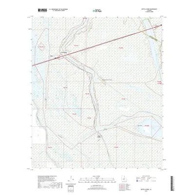
2018 Map of Butte La Rose
USGS Topo · Published 2018About this map
The Atchafalaya Basin Floodway dominates this part of Saint Martin and Iberville Parishes, creating a complex wetland environment defined by a dense network of waterways. The Atchafalaya River winds through the center of the sheet, supplemented by man-made alterations like the Butte La Rose Cutoff and the Whisky Bay Pilot Channel. Small settlements such as Butte La Rose and Atchafalaya are positioned along the river levees and connecting roads, including River Ridge Rd and the Atchafalaya River Hwy.
Find a feature on this map
40 named features on this map. Tap any name to fly to it.
Don’t see what you’re looking for? This feature index may not catch every label — zoom into the map to look around manually.
Map Details
Editions of this 2018 Butte La Rose Map
This is the sole edition of this map. No revisions or reprints were ever made.
Other maps of this area

1935 · Osca Bayou
USGS Topo · 1:62,500

1939 · St. Martinsville
USGS Topo · 1:62,500

1940 · Arnaudville
USGS Topo · 1:62,500

1941 · Loreauville
USGS Topo · 1:62,500

1953 · Cow Bayou
USGS Topo · 1:24,000

1953 · Maringouin
USGS Topo · 1:24,000

1954 · Loreauville
USGS Topo · 1:62,500

1954 · Baton Rouge
USGS Topo · 1:250,000

1955 · Osca Bayou
USGS Topo · 1:62,500

1956 · Baton Rouge
USGS Topo · 1:250,000