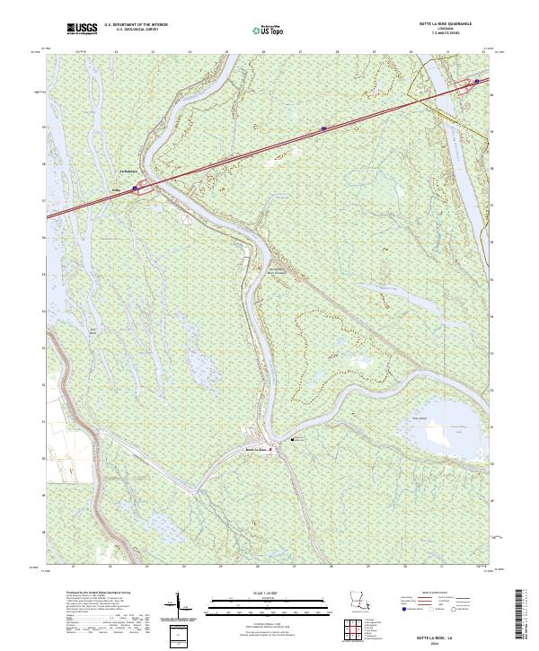
2024 Map of Butte La Rose
USGS Topo · Published 2024About this map
The Butte La Rose settlement serves as the focal point of this hydrologically complex landscape within the Atchafalaya Basin Floodway. The terrain is defined by a dense network of bayous, sloughs, and lakes, illustrating the shifting water patterns of the St. Martin and Iberville Parish border. The Atchafalaya River winds through the center of the sheet, flanked by the Atchafalaya River HWY and River Ridge RD, while smaller communities like Pelba and Atchafalaya sit near the river's upper reaches. Genealogists and local historians can locate the Butte La Rose Cem and trace old family-named routes such as Lena Thevis Rd and Herman Dupuis Rd. The map also captures significant water features including the Whisky Bay Pilot Channel, Cow Island Lake, and Butte La Rose Cutoff, showing the intricate engineering required to manage this low-lying riverine environment.
Find a feature on this map
37 named features on this map. Tap any name to fly to it.
Don’t see what you’re looking for? This feature index may not catch every label — zoom into the map to look around manually.
Map Details
Editions of this 2024 Butte La Rose Map
This is the sole edition of this map. No revisions or reprints were ever made.
Other maps of this area

1935 · Osca Bayou
USGS Topo · 1:62,500

1939 · St. Martinsville
USGS Topo · 1:62,500

1940 · Arnaudville
USGS Topo · 1:62,500

1941 · Loreauville
USGS Topo · 1:62,500

1953 · Cow Bayou
USGS Topo · 1:24,000

1953 · Maringouin
USGS Topo · 1:24,000

1954 · Loreauville
USGS Topo · 1:62,500

1954 · Baton Rouge
USGS Topo · 1:250,000

1955 · Osca Bayou
USGS Topo · 1:62,500

1956 · Baton Rouge
USGS Topo · 1:250,000