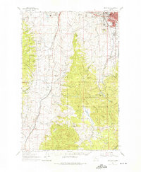
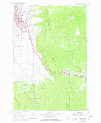
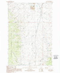
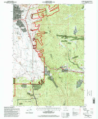
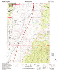
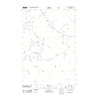
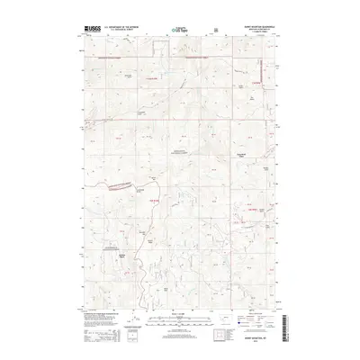
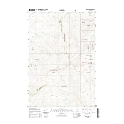
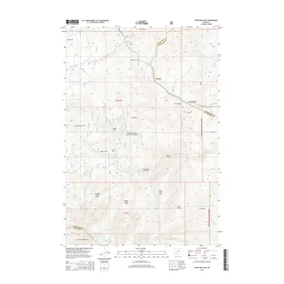
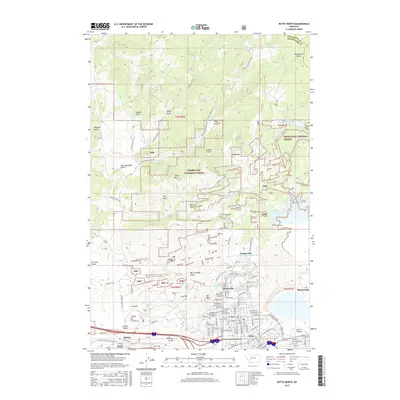
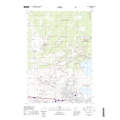
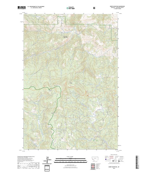
1959 Map of Butte North
USGS Topo · Published 1987About this map
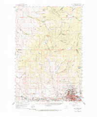
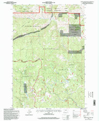
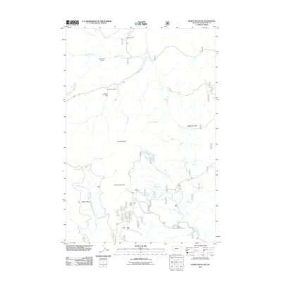
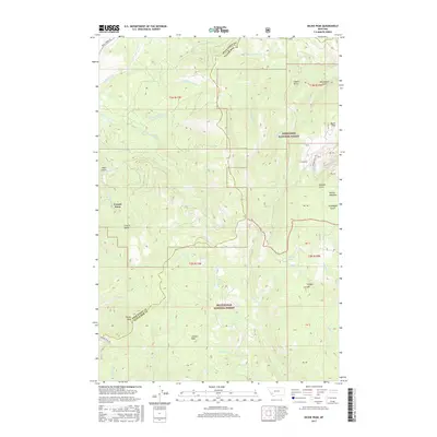
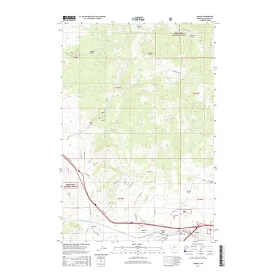
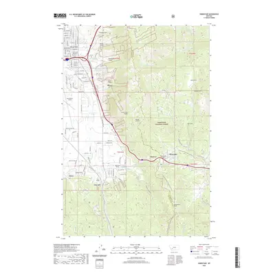
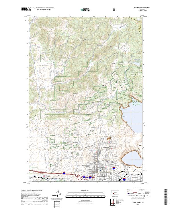
The industrial heart of the Northern Rockies is laid bare here, centered on the dense urban and mining complex of Butte in the late 1950s. The map captures the massive footprint of the Berkeley Pit and the surrounding mining communities of Walkerville, Centerville, and Meaderville. Educational and industrial foundations are clearly marked, from the Montana School of Mines to specialized sites like the Butte Pacific Mine and Butte and Zenith Mine.
Find a feature on this map
71 named features on this map. Tap any name to fly to it.
Don’t see what you’re looking for? This feature index may not catch every label — zoom into the map to look around manually.
Map Details
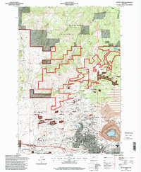
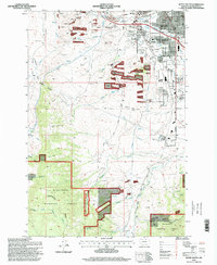
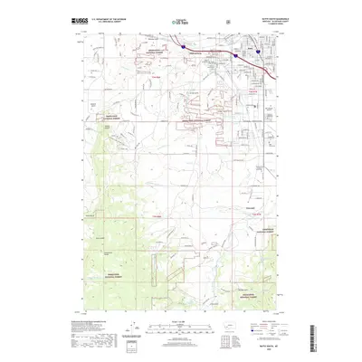
Editions of this 1959 Butte North Map
3 editions found
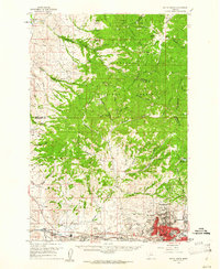
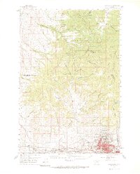
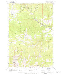
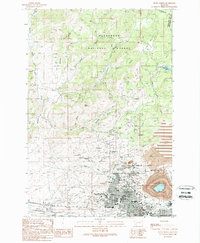
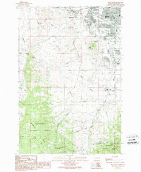
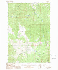
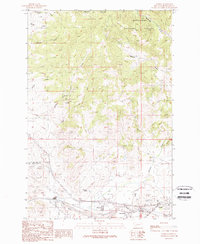
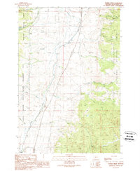
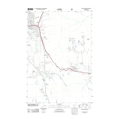
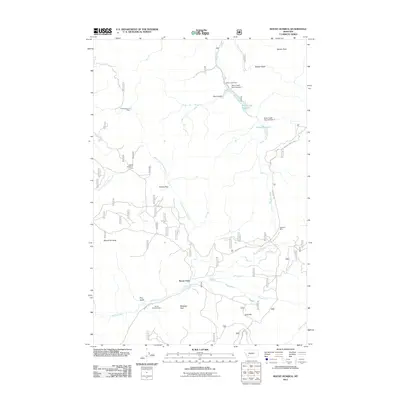
Historical Maps of Butte Through Time
86 maps found
1959 Butte North
Silver Bow County, MT
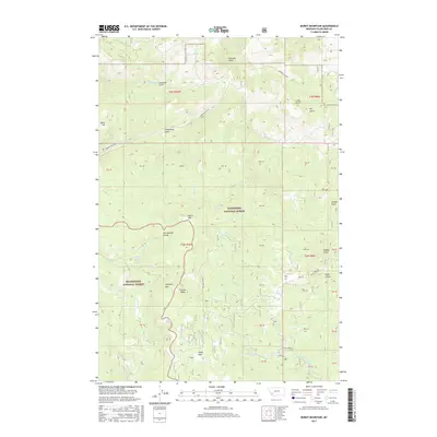
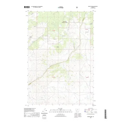
1961 Burnt Mountain
Silver Bow County, MT
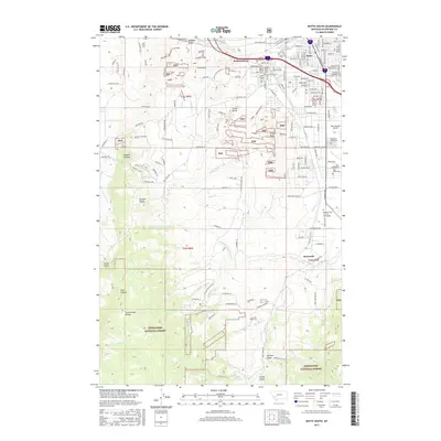
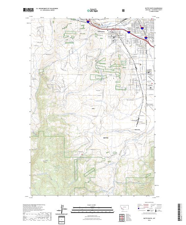
1961 Butte South
Silver Bow County, MT
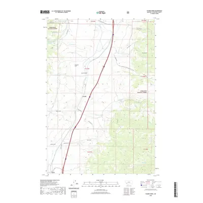
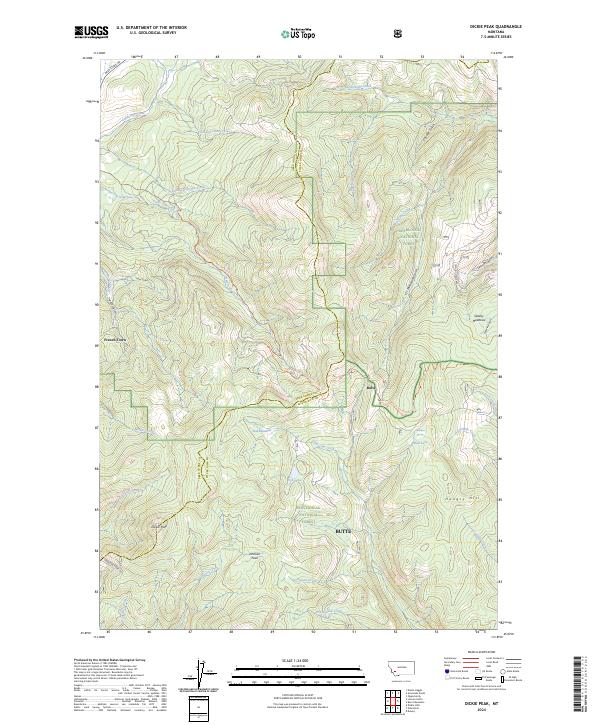
1961 Dickie Peak
Silver Bow County, MT
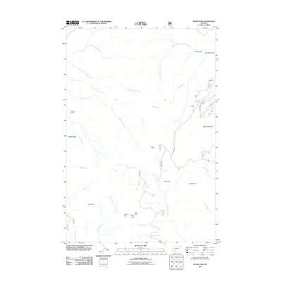
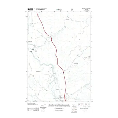
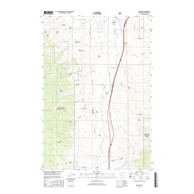
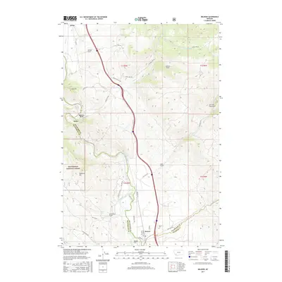
1961 Melrose
Silver Bow County, MT
1961 Wickiup Creek
Silver Bow County, MT
1963 Homestake
Silver Bow County, MT
1963 Pipestone Pass
Silver Bow County, MT
1989 Butte North
Silver Bow County, MT
1989 Butte South
Silver Bow County, MT
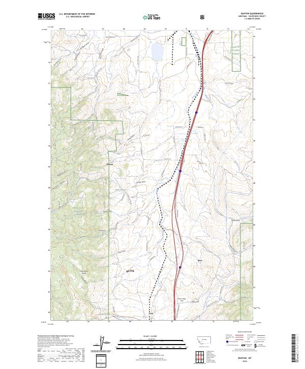
1989 Buxton
Silver Bow County, MT
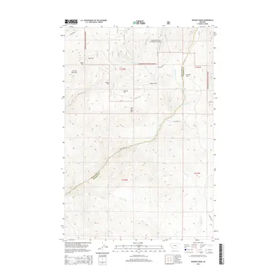
1989 Mount Humbug
Silver Bow County, MT
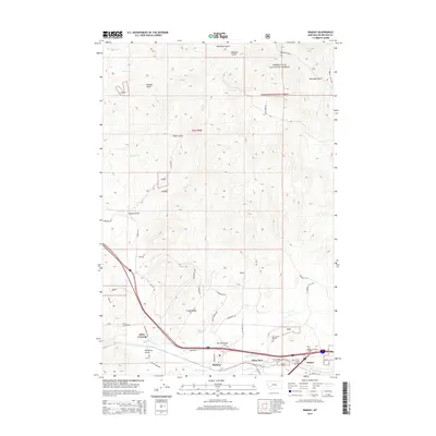
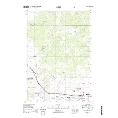
1989 Ramsay
Silver Bow County, MT
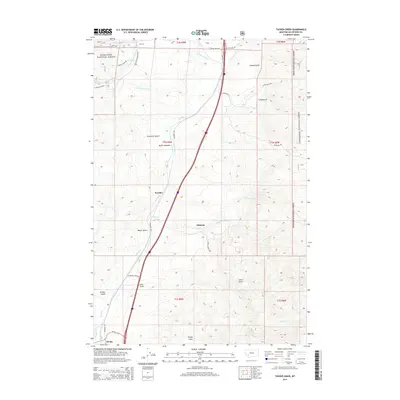
1989 Tucker Creek
Silver Bow County, MT
1996 Burnt Mountain
Silver Bow County, MT
1996 Butte North
Silver Bow County, MT
1996 Butte South
Silver Bow County, MT
1996 Buxton
Silver Bow County, MT
1996 Homestake
Silver Bow County, MT
1996 Mount Humbug
Silver Bow County, MT
1996 Pipestone Pass
Silver Bow County, MT
1996 Ramsay
Silver Bow County, MT
1996 Tucker Creek
Silver Bow County, MT
1996 Wickiup Creek
Silver Bow County, MT
1997 Dickie Peak
Silver Bow County, MT
1997 Melrose
Silver Bow County, MT
2011 Burnt Mountain
Silver Bow County, MT
2011 Butte North
Silver Bow County, MT
2011 Butte South
Silver Bow County, MT
2011 Buxton
Silver Bow County, MT
2011 Dickie Peak
Silver Bow County, MT
2011 Homestake
Silver Bow County, MT
2011 Melrose
Silver Bow County, MT
2011 Mount Humbug
Silver Bow County, MT
2011 Pipestone Pass
Silver Bow County, MT
2011 Ramsay
Silver Bow County, MT
2011 Tucker Creek
Silver Bow County, MT
2011 Wickiup Creek
Silver Bow County, MT
2014 Burnt Mountain
Silver Bow County, MT
2014 Butte North
Silver Bow County, MT
2014 Butte South
Silver Bow County, MT
2014 Buxton
Silver Bow County, MT
2014 Dickie Peak
Silver Bow County, MT
2014 Homestake
Silver Bow County, MT
2014 Melrose
Silver Bow County, MT
2014 Mount Humbug
Silver Bow County, MT
2014 Pipestone Pass
Silver Bow County, MT
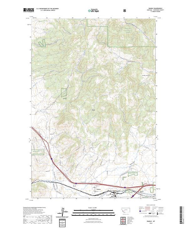
2014 Ramsay
Silver Bow County, MT
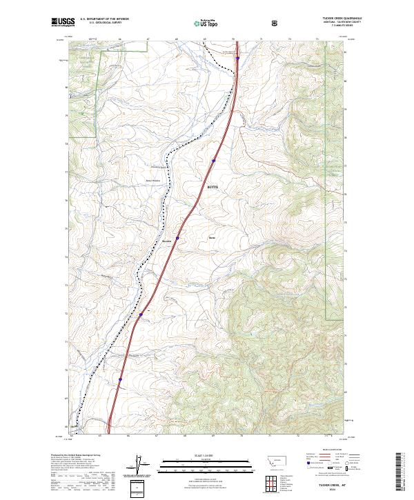
2014 Tucker Creek
Silver Bow County, MT
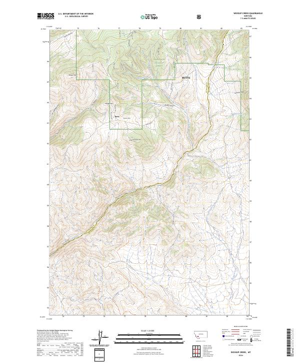
2014 Wickiup Creek
Silver Bow County, MT
2017 Burnt Mountain
Silver Bow County, MT
2017 Butte North
Silver Bow County, MT
2017 Butte South
Silver Bow County, MT
2017 Buxton
Silver Bow County, MT
2017 Dickie Peak
Silver Bow County, MT

2017 Homestake
Silver Bow County, MT
2017 Melrose
Silver Bow County, MT
2017 Mount Humbug
Silver Bow County, MT
2017 Pipestone Pass
Silver Bow County, MT
2017 Ramsay
Silver Bow County, MT
2017 Tucker Creek
Silver Bow County, MT
2017 Wickiup Creek
Silver Bow County, MT
2020 Burnt Mountain
Silver Bow County, MT
2020 Butte North
Silver Bow County, MT
2020 Butte South
Silver Bow County, MT
2020 Buxton
Silver Bow County, MT
2020 Dickie Peak
Silver Bow County, MT
2020 Homestake
Silver Bow County, MT
2020 Melrose
Silver Bow County, MT
2020 Mount Humbug
Silver Bow County, MT
2020 Pipestone Pass
Silver Bow County, MT
2020 Ramsay
Silver Bow County, MT
2020 Tucker Creek
Silver Bow County, MT
2020 Wickiup Creek
Silver Bow County, MT
2024 Burnt Mountain
Silver Bow County, MT
2024 Butte North
Silver Bow County, MT
2024 Butte South
Silver Bow County, MT
2024 Buxton
Silver Bow County, MT
2024 Dickie Peak
Silver Bow County, MT
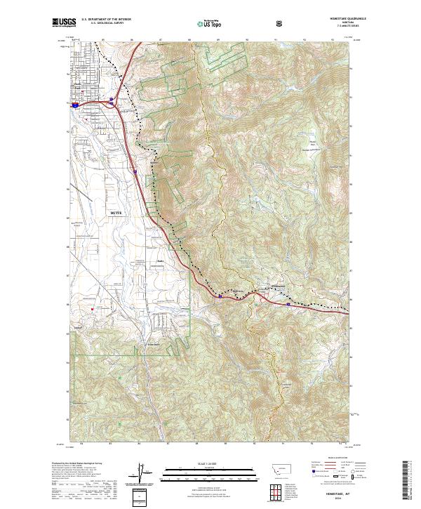
2024 Homestake
Silver Bow County, MT
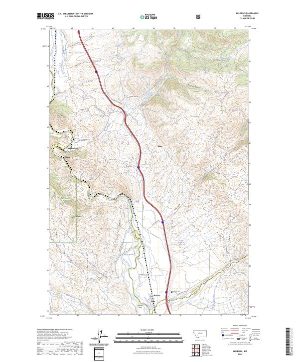
2024 Melrose
Silver Bow County, MT
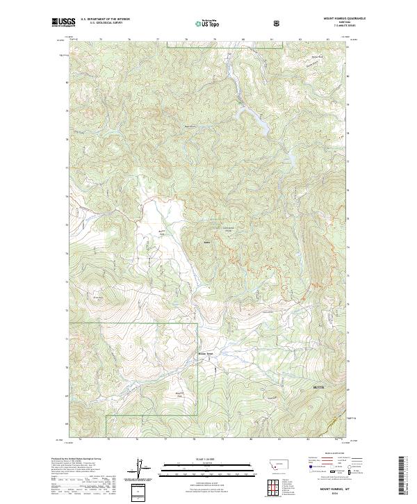
2024 Mount Humbug
Silver Bow County, MT
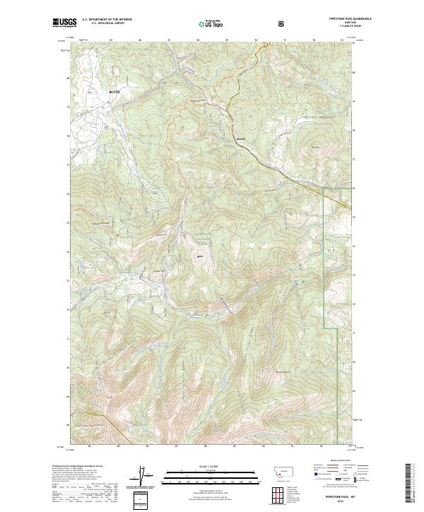
2024 Pipestone Pass
Silver Bow County, MT
2024 Ramsay
Silver Bow County, MT
2024 Tucker Creek
Silver Bow County, MT
2024 Wickiup Creek
Silver Bow County, MT